DJI Terra 3D model digitization and reconstruction software.
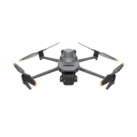
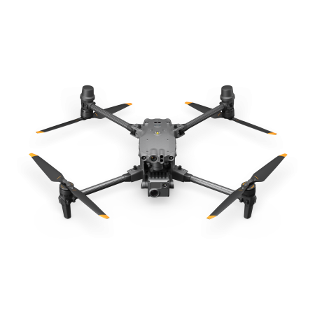
Designed to work seamlessly with drones and instruments from DJI Enterprise, DJI Terra becomes the ideal complete solution for various applications, such as surveying, terrain mapping, power transmission, emergency services, construction, transportation, and agriculture.
DJI Terra 3D model digitization and reconstruction software.
Designed to work seamlessly with drones and instruments from DJI Enterprise, DJI Terra becomes the ideal complete solution for various applications, such as surveying, terrain mapping, power transmission, emergency services, construction, transportation, and agriculture.
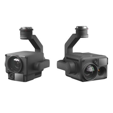
Discover DJI Terra, the leading 3D model reconstruction software that uses photogrammetry as its core technology. This powerful program offers precise and efficient 2D and 3D reconstructions, leveraging visible light and data processing through DJI’s advanced LiDAR technology.
Experience the revolution in mapping and 3D models with DJI Terra. With our advanced technology, you can generate realistic 3D models in three different resolutions: high, medium, and low. Automatic AI optimization ensures that water surfaces in your models are flawless.
DJI Terra goes further by exporting widely used industry formats, ideal for image reconstruction in various scenarios. Whether for surveying, mapping, accident site analysis, power network equipment inspection, or construction progress tracking, DJI Terra provides the perfect tool. Discover the power of 3D model generation with DJI Terra and elevate the quality of your projects to new levels.
Scale |
400 photos/ 1 GB (individual computer) 6,000 photos/ 1 GB (cluster processing) |
Efficiency |
30,000 photos/ 3 days (individual computer) 30,000 sheets/ 21 hours (cluster processing) |
Accuracy |
Centimeter-level accuracy |
In the world of 2D maps, DJI Terra stands out by optimizing its algorithm for various scenarios, significantly improving processing efficiency. This approach not only ensures effective prevention of image distortions and deformations but also delivers detailed and precise measurement results for all target objects and study areas.
Discover how DJI Terra elevates the quality of 2D map generation, providing a tool that perfectly adapts to your needs. Optimize your processes, avoid distortions, and obtain accurate measurements in every project. With DJI Terra, 2D map excellence is within reach.
Scale |
400 photos/ 1 GB (individual computer) 6,000 sheets/ 1 GB (cluster processing) |
Efficiency |
5,000 photos/ 2 days (individual computer) 5,000 sheets/ 80 minutes (cluster processing) |
Accuracy |
Centimeter-level accuracy |
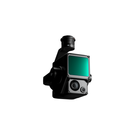
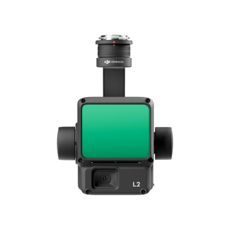
DJI Terra simplifies the processing of point cloud data captured by Zenmuse LiDAR with just one click. From route calculation to precise fusion of point cloud and visible light data, DJI Terra efficiently optimizes the accuracy of the point cloud.
With advanced features like ground point extraction, Digital Terrain Model (DTM) generation, and detailed mission reports, DJI Terra becomes the essential tool to maximize your LiDAR data. Discover how easily and accurately DJI Terra processes LiDAR data, elevating your capabilities to new heights with just one click.
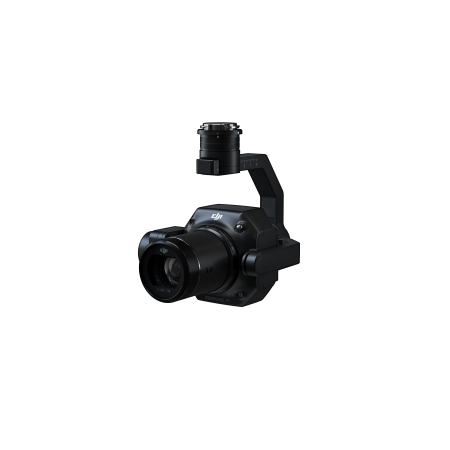
DJI Terra maximizes the use of multispectral data from the DJI Mavic 3 multispectral and P4 multispectral to provide you with detailed insights into plant growth and health. With the ability to generate vegetation index maps, including NDVI and NDRE, it provides crucial information for agricultural decision-making.
This software supports radiometric correction and allows the creation of reflectance maps, facilitating remote sensing research. Additionally, DJI Terra enables the creation of prescription maps for variable-rate applications with DJI Agras drones, improving harvests and reducing costs. Discover how DJI Terra and multispectral data are transforming agriculture efficiently and cost-effectively.
Real-Time 3D Mapping |
In situations where efficiency is crucial, DJI Terra allows you to quickly generate and visualize a 3D model of the mapped area in real-time. This gives you the ability to make informed decisions with a preliminary model, immediately verify mission progress, and plan 3D flights over the terrain on-site. Discover the agility of real-time 3D mapping with DJI Terra, providing a powerful tool for situations where speed and instant decision-making are key. Simplify your processes, increase efficiency, and take control of your operations with DJI Terra’s unique real-time 3D model generation capability. |
Real-Time Mapping |
DJI Terra allows you to instantly generate a 2D orthomosaic of the selected area in real-time, offering the perfect tool for creating detailed flight routes in remote locations. Its utility extends to missions where time is critical, and on-site decisions must be made quickly. Discover the effectiveness of real-time mapping with DJI Terra, allowing you not only to instantly visualize mapping data but also to make informed decisions on the go. Streamline your operations, optimize decision-making, and maximize your efficiency in situations where every second counts. With DJI Terra, the power of real-time mapping is in your hands. |
Detailed Mission Planning |
DJI Terra simplifies the planning of detailed inspection missions by automatically generating trajectories and flight routes based on one or more selected points in a local realistic 3D model or a point cloud (also compatible with third-party point clouds). The display shows a simulated camera view that includes the selected point, allowing for better trajectory selection and more efficient flight route planning. Discover the automation of inspection workflows with DJI Terra, streamlining the process by providing an intuitive tool for automatic flight route generation. Optimize your detailed inspection operations with DJI Terra’s efficient and precise mission planning. |
DJI’s user experience allows you to fly in the blink of an eye thanks to its intuitive interface. Reconstruction missions using multiple graphics cards increase efficiency.
 |
 |
 |
| Step 1 | Step 2 | Step 3 |
DJI Terra enhances the quality of your project by meeting and exceeding established standards. Incorporate Points of Interest (POS), Ground Control Points (GCP), or both options to create georeferenced models and maps with improved accuracy, directly in the coordinate system required by your project.
Easily choose from over 8,500 main coordinate systems to transfer your map and model coordinates, ensuring seamless integration with your specific needs.
Receive detailed quality reports for each mission to ensure results meet your accuracy standards. Additionally, take advantage of automatic photo identification through automatic Ground Control Points, simplifying the process by just marking one photo.
Optimize efficiency with Region of Interest (ROI) and Block, allowing image reconstruction in specific target areas. This not only saves processing time but also improves the clarity and completeness of models or point clouds, facilitating large-scale block reconstruction and assembly. With DJI Terra, your project reaches superior levels of precision, flexibility, and efficiency.
With DJI Terra, you will access measurement tools that are both intuitive and effortless, providing you with the ability to obtain various essential measurements for your projects across different terrains. Whether it’s linear, area, or volumetric measurements, our easy-to-use tools will allow you to capture precise data efficiently.
Additionally, you can edit measurement labels on existing models, improving communication and notification in ongoing projects. DJI Terra not only simplifies your measurement processes but also facilitates effective collaboration and communication at every stage of your projects. Discover how easy it is to work with intuitive and effortless measurement tools with DJI Terra.
With DJI Terra, mission planning versatility is at your fingertips, offering options tailored to the complexity and specific requirements of each task.
Discover how DJI Terra is transforming various industries, providing advanced and efficient solutions for contemporary challenges.
You might also like