
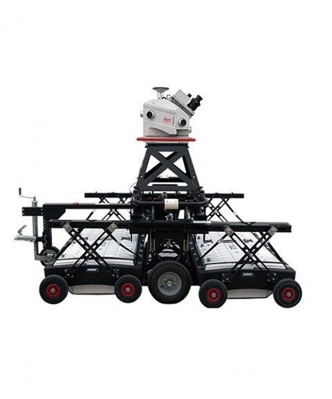
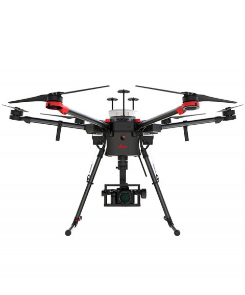
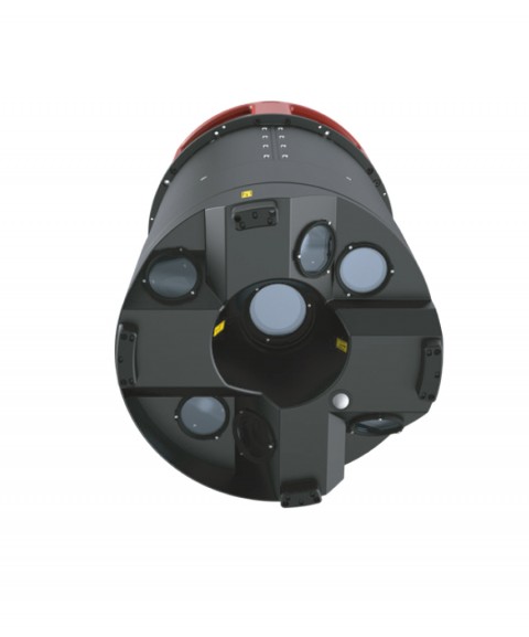
Mobile Mapping Teams
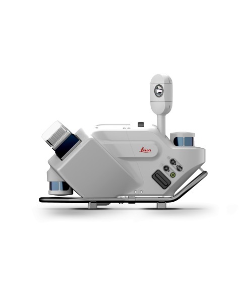
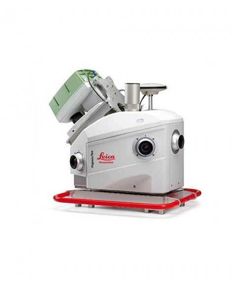
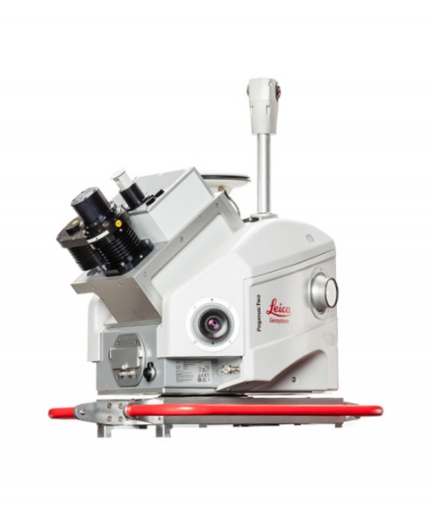
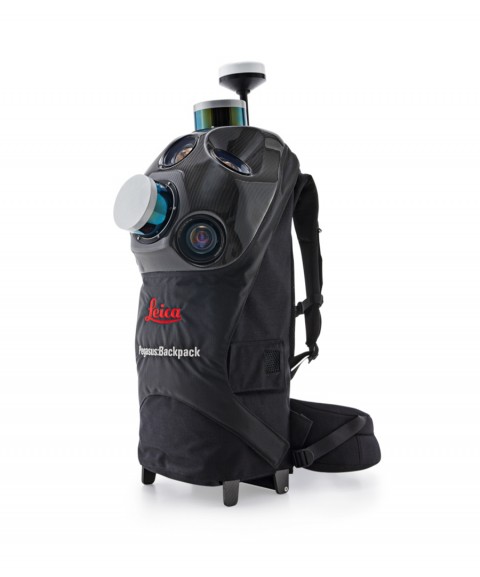
Mobile Mapping systems enable high-precision geospatial data capture using sensors mounted on mobile platforms such as ground vehicles, backpacks or drones. These systems integrate laser scanners, cameras and GNSS receivers, generating data on the move such as point clouds, georeferenced imagery and 3D models. They are used in applications like urban mapping, infrastructure inspection, digital twins and spatial analysis, allowing efficient data collection over large areas in short timeframes.


Product image thumbs bottom

Product image thumbs left

Product image thumbs right

Product image no thumbs

Product image no thumbs center

Product image no thumbs fullwidth

Product image gallery

Duplicate of Product image thumbs bottom
detail2833693304
![detail2833693304]()
Duplicate of detail2833693304
![Duplicate of detail2833693304]()
productos nuevo prueba
![productos nuevo prueba]()