Software
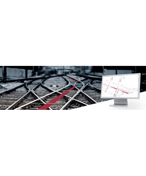
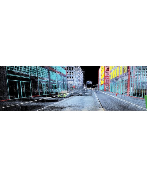
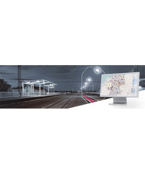
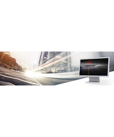
Mobile Mapping software enables the processing, visualization, and management of geospatial data captured by mobile mapping systems. These platforms combine sensors such as laser scanners, cameras, and GNSS receivers mounted on vehicles or backpacks, generating high-density point clouds and georeferenced data. The associated software tools support tasks such as trajectory calibration, feature extraction, orthophoto generation, and integration of information into GIS or BIM environments.


Product image thumbs bottom

Product image thumbs left

Product image thumbs right

Product image no thumbs

Product image no thumbs center

Product image no thumbs fullwidth

Product image gallery

Duplicate of Product image thumbs bottom
detail2833693304
![detail2833693304]()
Duplicate of detail2833693304
![Duplicate of detail2833693304]()
productos nuevo prueba
![productos nuevo prueba]()