
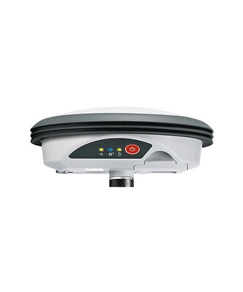
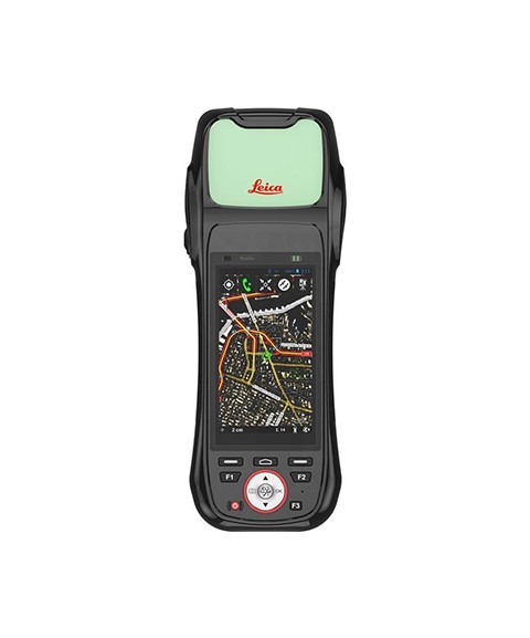
GIS
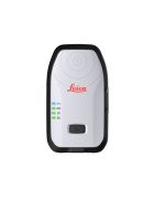
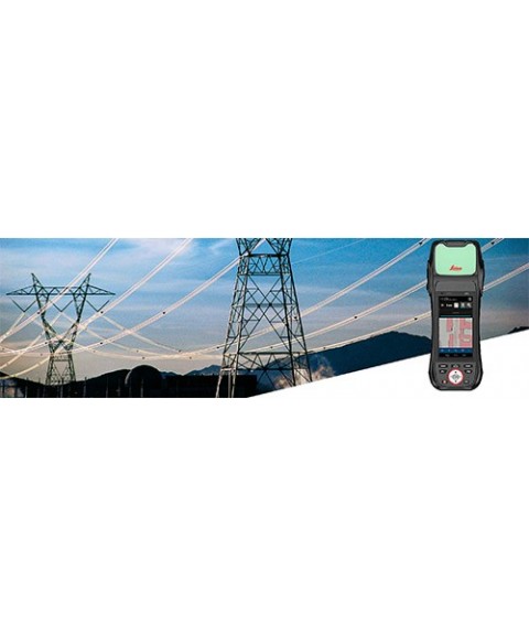
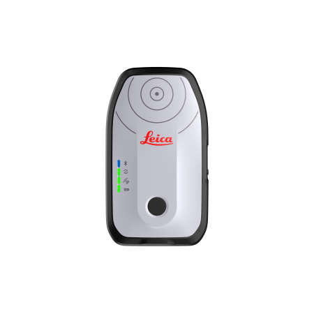
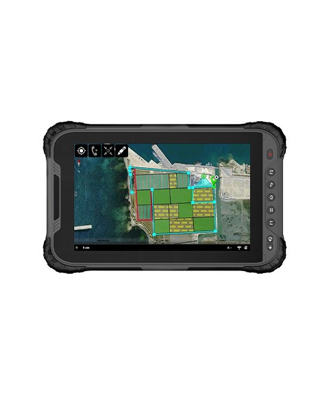
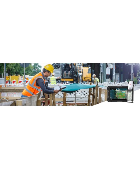
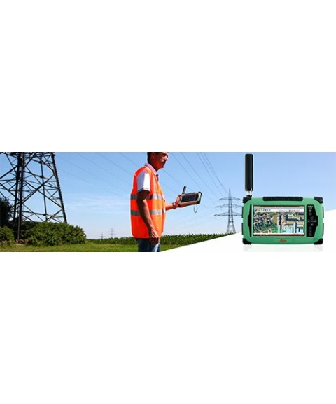
The GIS category brings together everything needed for capturing, processing, and analyzing geospatial data linked to territorial features. It includes lightweight GNSS antennas, field controllers, specialized software, and accessories for mapping, cadastral, environmental, and infrastructure projects. A curated selection for professionals working with Geographic Information Systems who require portability, accuracy, and efficiency in the field.


Product image thumbs bottom

Product image thumbs left

Product image thumbs right

Product image no thumbs

Product image no thumbs center

Product image no thumbs fullwidth

Product image gallery

Duplicate of Product image thumbs bottom
detail2833693304
![detail2833693304]()
Duplicate of detail2833693304
![Duplicate of detail2833693304]()
productos nuevo prueba
![productos nuevo prueba]()