
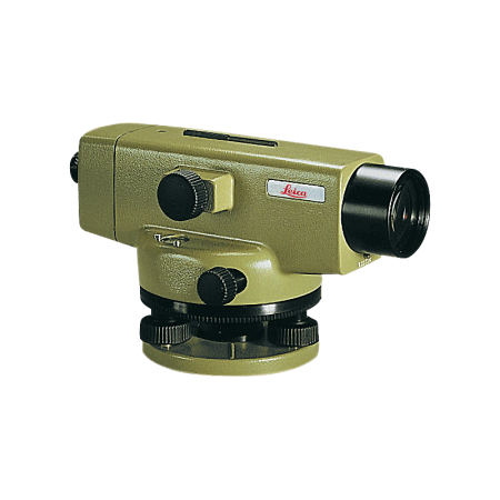
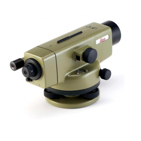
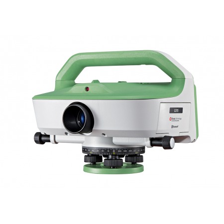
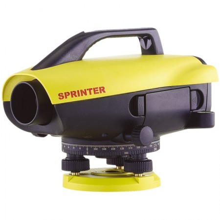
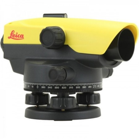
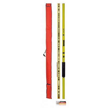
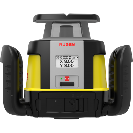
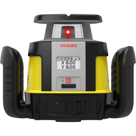
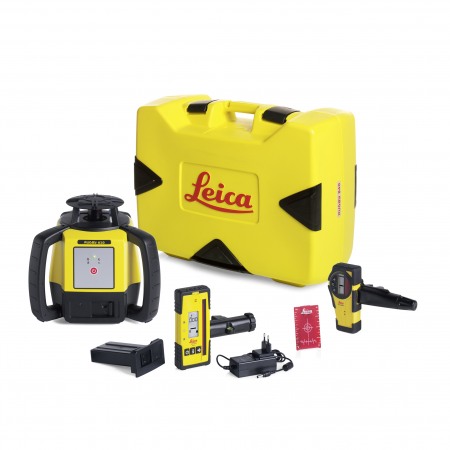
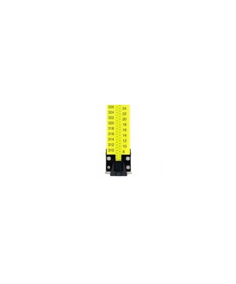
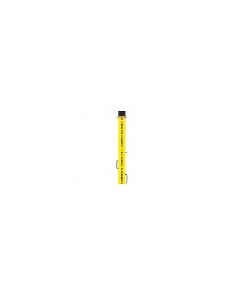
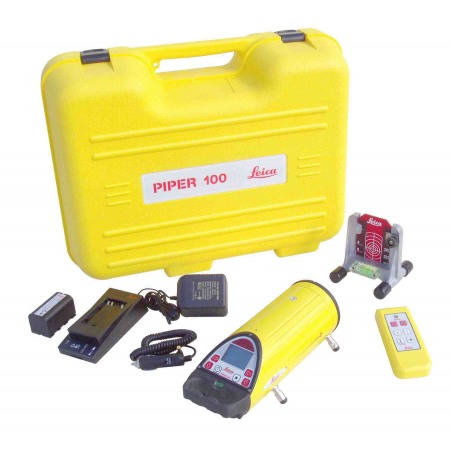
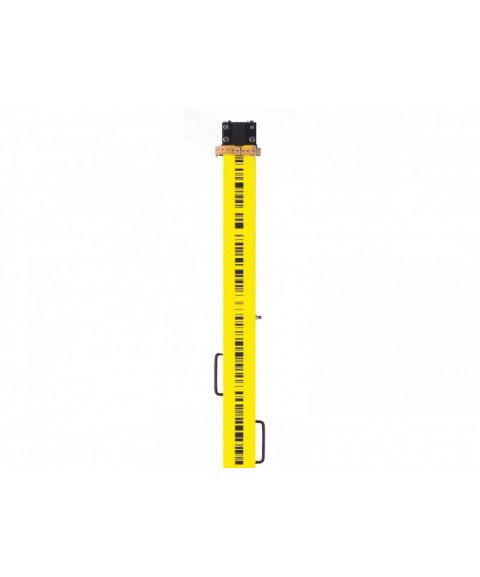
Levels
The surveying level from Leica Geosystems is one of the most useful tools when accurate height measurement is required (automatic levels, digital levels, rotary levels, pipe levels...).
Leica Geosystems levels are quick to set up and are among the most accurate on the market.
At Topotienda, we offer a wide range of surveying levels, also available for rental.


Product image thumbs bottom

Product image thumbs left

Product image thumbs right

Product image no thumbs

Product image no thumbs center

Product image no thumbs fullwidth

Product image gallery

Duplicate of Product image thumbs bottom
detail2833693304
![detail2833693304]()
Duplicate of detail2833693304
![Duplicate of detail2833693304]()
productos nuevo prueba
![productos nuevo prueba]()