


The DJI Mavic 3 Multispectral is a drone that combines an RGB camera with a multispectral camera to scan and analyze crop growth with total clarity. With the precision and data it provides, the Mavic 3M is a valuable tool for agricultural production management.
The DJI Mavic 3 Multispectral is a drone that combines an RGB camera with a multispectral camera to scan and analyze crop growth with total clarity. With the precision and data it provides, the Mavic 3M is a valuable tool for agricultural production management.
Compact and portableFoldable, easily stored |
Multispectral camera4x5 Megapixels G/R/RE/NIR |
Safe and stableOmnidirectional anti-collision system 15 km transmission range |
Precise positioningCentimeter-level RTK positioning Microsecond time synchronization |
RGB Camera20 Megapixels 4/3 CMOS, mechanical shutter |
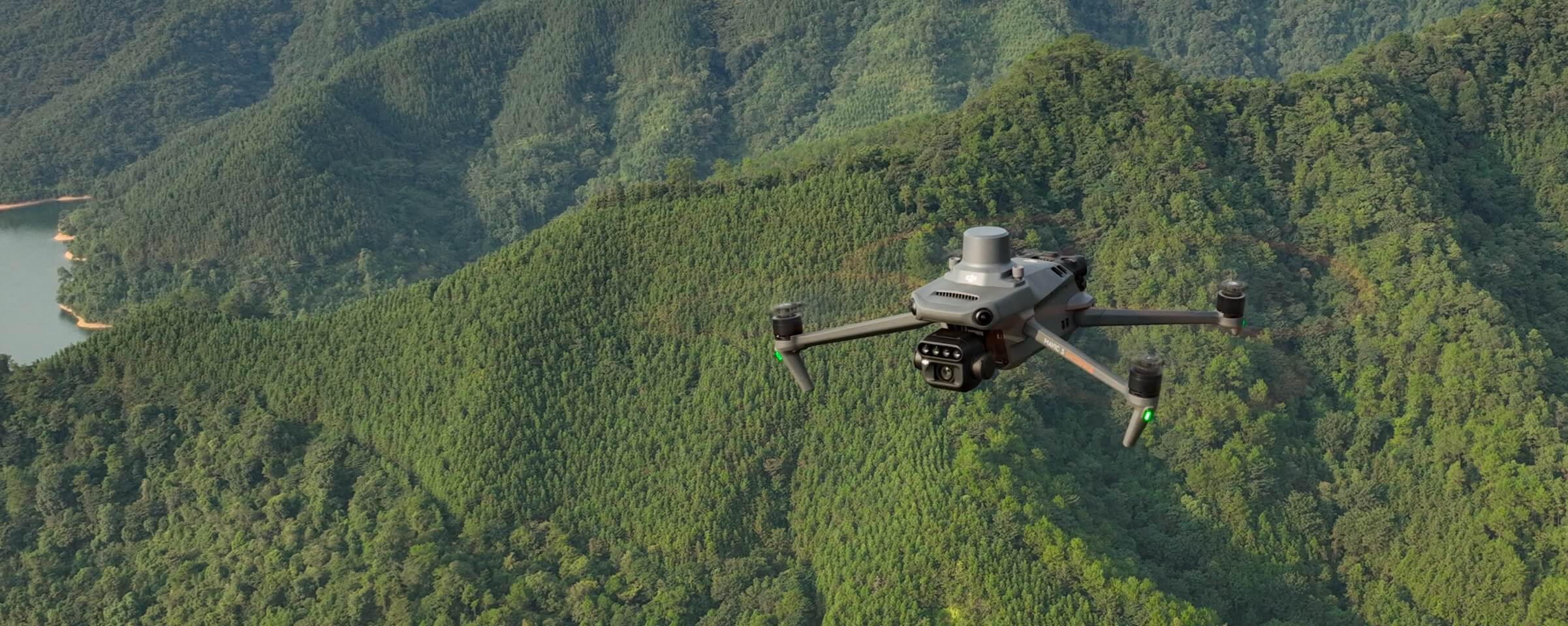
Efficient aerial surveyUp to 200 hectares per flight |
The DJI Mavic 3M offers precise images that capture every pixel thanks to its RTK (Real-Time Kinematic) module for centimeter-level positioning. The millisecond synchronization between the flight control, camera, and RTK module in microseconds ensures precise capture of the image center location of each camera. This precise synchronization allows the Mavic 3M to perform high-precision aerial surveys without relying on ground control points. This feature is crucial for obtaining high-quality and accurate mapping and topographic data.
With exceptional efficiency and reliability in battery life, the DJI Mavic 3M stands out for its ultra-long battery life, enabling quick bursts of up to 43 minutes of flight time.
With this capability, the drone can cover a large area of up to 200 hectares in a single flight, facilitating efficient and comprehensive mapping operations without interruptions. The combination of long battery life and the ability to cover large areas in each flight significantly increases the efficiency and productivity of aerial missions with the Mavic 3M.
It also features 88W fast charging.
The DJI Mavic 3M's O3 transmission stands out by integrating two transmission signals and four reception signals, enabling ultra-long transmission distances of up to 15 km. This advanced capability provides a robust and reliable connection between the drone and the remote control, allowing operators to maintain control and receive clear transmissions even over significant distances.
The combination of the optional DJI cellular module with enhanced 4G Transmission and O3 Industry Edition Transmission offers a significant improvement in signal stability and contributes to a safer flight. By working simultaneously, these technologies ensure robust connectivity even in environments where signals may be obstructed by mountains or buildings.
The DJI Mavic 3M is equipped with multiple wide-field visual sensors, which enable precise obstacle detection in all directions, achieving an omnidirectional anti-collision system.
Thanks to this advanced technology, the aircraft can avoid obstacles in complex environments and perform aerial surveys even in landscapes with steep slopes. This obstacle detection and avoidance system significantly enhances flight safety, allowing the Mavic 3M to perform operations in various environments efficiently and accurately.
The DJI Mavic 3M facilitates aerial inspection and terrain tracking in orchards, even on sloped terrain. By using tools like DJI Terra or the DJI SmartFarm platform, the drone can reconstruct high-resolution orchard maps. Additionally, it can automatically determine the number of trees, distinguish trees from other obstacles or objects, and generate operational routes for agricultural drones. This allows operations to be safer and more efficient, providing detailed and accurate information for agricultural management.
The DJI Mavic 3M is effectively used in specific agricultural applications such as rice fertilization, cotton growth regulation, and foliar fertilizer spraying for potatoes. To obtain multispectral images of crops, the drone is used, and then DJI Terra or the DJI SmartFarm platform can generate NDVI (Normalized Difference Vegetation Index) maps and other vegetation indices. These maps capture differences in crop potential and allow for the creation of prescription maps.
These prescription maps, in turn, enable agricultural drones to perform variable rate applications. This means that the drones can adjust the amount of agricultural inputs, such as fertilizers, specifically in different areas of the field, according to the needs detected by the generated maps.
The DJI Mavic 3M offers an automatic field exploration function that allows real-time uploading of field scan images through a 4G network to the DJI SmartFarm platform.
This capability enables timely detection of anomalies such as emergency deficiencies, weed pressure, and crop lodging. Additionally, the drone can perform intelligent analysis, such as identifying cotton seedlings and testing rice production using AI-based identification.
This facilitates real-time sharing of crop growth information, provides guidance for agronomic activities, and allows for efficient management of up to 70 hectares of farmland by a single person. The combination of drone technology and artificial intelligence significantly improves efficiency and decision-making in agriculture.
Some specific applications include monitoring water eutrophication, forest distribution inspections, and assessing urban green areas, among others. Its ability to perform precise flights and capture high-resolution images makes it a valuable tool for conducting detailed inspections and data collection in natural and urban environments.
The combination of mobility, advanced imaging technology, and the ability to fly in various environments makes the Mavic 3M an efficient and versatile option for a wide range of environmental monitoring and inspection applications.
You might also like


