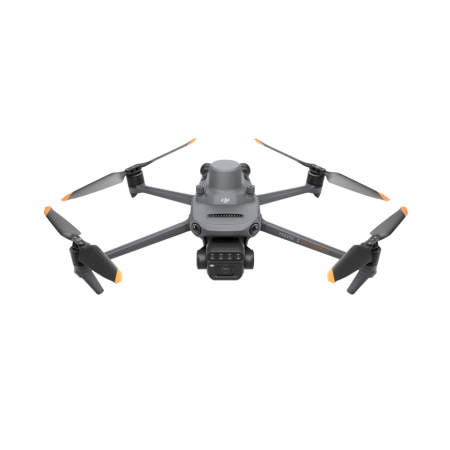
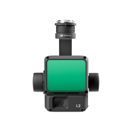
Maximize efficiency and precision with the Zenmuse P1, the leader in aerial photogrammetry.
Equipped with a full-frame sensor and interchangeable lenses, it redefines excellence in photogrammetric flight missions.
Maximize efficiency and precision with the Zenmuse P1, the leader in aerial photogrammetry.
Equipped with a full-frame sensor and interchangeable lenses, it redefines excellence in photogrammetric flight missions.
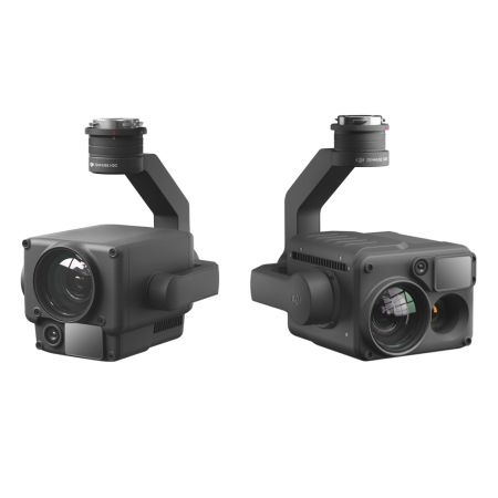
Integrates a full-frame sensor with interchangeable fixed-focus lenses on a 3-axis gimbal. The Zenmuse P1 is designed to perform photogrammetric flight missions, taking efficiency and precision to a new level.

Experience extraordinary efficiency with the Zenmuse P1, which features a low-noise, high-sensitivity full-frame sensor. Capture images every 0.7 seconds during flight and cover an area of 3 km2 in a single flight, setting a new standard in aerial missions.
Precision reaches new levels with the global mechanical shutter and advanced TimeSync 2.0 system, which synchronizes modules with microsecond accuracy. The real-time position and orientation compensation technology enables centimeter-level precise data capture, ensuring reliable results.
Explore robust versatility with the integrated 3-axis gimbal, compatible with 24/35/50 mm lenses and the intelligent oblique capture function. The Zenmuse P1 not only offers efficiency and precision but also unlocks the ability to create 2D, 3D, and detailed models with ease.
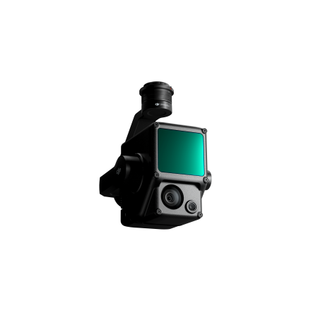
Discover total efficiency with the Zenmuse P1 and its 45 MP full-frame camera. With 4.4 μm pixels, it guarantees low-interference, high-sensitivity images, extending daily operation time. Capture a photo every 0.7 seconds in flight, supported by TimeSync 2.0, which aligns the camera, flight controller, RTK module, and gimbal with microsecond accuracy.
The P1 redefines efficiency by delivering exceptional quality images, maximizing coverage and productivity in every mission. Its ability to operate in diverse conditions makes it the ideal choice for applications requiring high-quality results.
The Zenmuse P1 offers multiple fixed-focus lens options:
Unleash the potential of oblique photography with the Zenmuse P1, covering an impressive area of 7.5 km2 in a single day. Increase efficiency with intelligent oblique capture, where the gimbal automatically rotates to capture images from different angles, optimizing post-processing and increasing efficiency by up to 50%.
Data management is simplified with the P1, automatically associating files with mission name and time. Centralized storage for photos, GNSS data, and TimeStamps.MRK files facilitates organization. Image metadata includes intrinsic and extrinsic parameters, along with RTK status.
Verify data quality in real-time with the fieldwork report, providing crucial details about position, the number of acquired images, RTK status, and positioning accuracy. The Zenmuse P1 ensures intelligent and efficient management of every aspect of your mission.
2D Orthomosaic Mission |
3D Oblique Mission |
|
| Generate orthomosaics without GCPs with the P1, perfect for operations in medium and large areas. | Effortlessly acquire oblique images from various angles that meet 3D modeling requirements in sectors such as urban planning and cadastral surveys with centimeter-level accuracy to serve 3D reality models and smart city planning. | |
Detailed Modeling Mission |
Real-Time Mapping Mission |
|
| Acquire ultra-high-resolution image data of vertical or inclined surfaces from a safe distance, faithfully recreating fine textures, structures, and features for detailed reconstructions, geological studies, heritage conservation, hydraulic engineering, and more. | Collect large-area geographical information in real-time with DJI Terra so teams can make crucial on-site decisions quickly. |
The Zenmuse P1 excels in a variety of applications, offering precise and efficient solutions for various industries:
Discover how the Zenmuse P1 enhances efficiency and precision across a wide range of applications to meet the demands of your industry.
You might also like