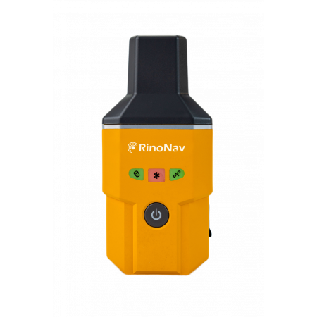
The MINU is a portable smart antenna by RinoNav, designed for mobile surveying and GIS applications. It provides centimeter-level RTK positioning in a lightweight (~220 g) and IP67-protected housing, compatible with multiple GNSS constellations.
The MINU is a portable smart antenna by RinoNav, designed for mobile surveying and GIS applications. It provides centimeter-level RTK positioning in a lightweight (~220 g) and IP67-protected housing, compatible with multiple GNSS constellations.
The MINU represents a new generation of smart antennas for GIS and mobile surveying. Its compact and robust architecture integrates a multi-constellation GNSS module supporting over 1408 channels, compatible with GPS, BDS (including BDS-3), GLONASS, GALILEO, QZSS, and SBAS. This ensures full coverage and high signal stability, even in obstructed environments.
Thanks to its differential RTK positioning technology, the MINU delivers real-time centimeter-level accuracy with very short initialization times: less than 30 s cold start and less than 3 s hot start. Its universal connectivity allows easy pairing with Android or iOS devices via Bluetooth, enabling seamless integration with GIS, CAD, or field data collection software.
Designed for mobility, the RINONAV MINU weighs less than 220 g and features IP67 certification, providing protection against dust and water. Its ergonomic design allows it to be worn on an armband, carried in a pocket, or mounted on a surveying pole using a clip. It also includes a long-lasting internal battery that ensures continuous operation throughout the workday.
With its precision, portability, and ease of use, the MINU is the ideal tool for professionals in surveying, mapping, civil engineering, power networks, and GIS who need a reliable and efficient system for fast and accurate field data capture.
| Supported constellations | GPS, BDS (BDS-3), GLONASS, GALILEO, QZSS, SBAS |
| GNSS channels | 1408 channels (multi-frequency) |
| RTK accuracy | Centimeter-level (H: 8 mm + 1 ppm / V: 15 mm + 1 ppm) |
| Startup | Cold start < 30 s / Hot start < 3 s |
| Connectivity | Bluetooth, compatible with Android and iOS |
| Durability | IP67 protection against dust and water |
| Weight | ≤ 220 g |
| Battery life | Long-lasting internal battery for continuous operation |
Contact our team to request a demo or learn more about available purchase and rental options.
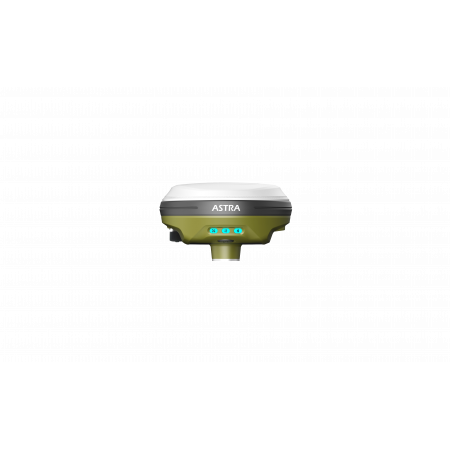
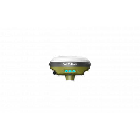
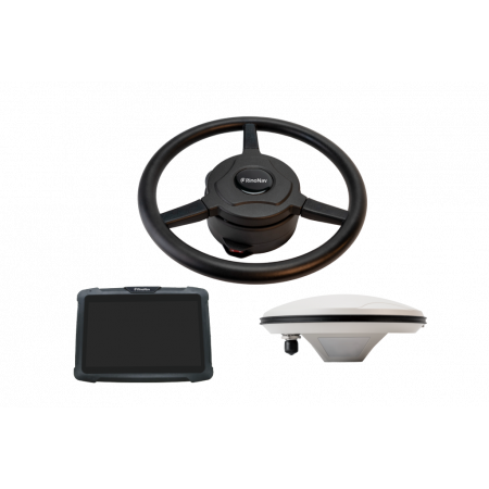
You might also like