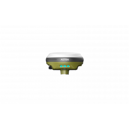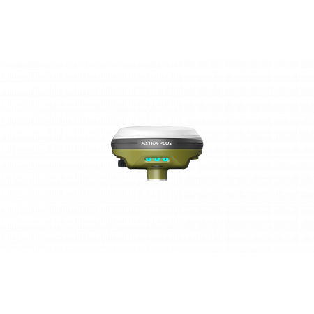
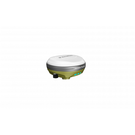
The RinoNav ASTRA PLUS is a compact and lightweight professional GNSS receiver designed to operate both as a base station and as a rover. Thanks to its AR (Real Time Augmented Reality) live-view interface, integrated UHF modem, and tilt measurement capability of up to 60°, it becomes an advanced and versatile solution for stakeout, field measurements, and demanding environments.
The RinoNav ASTRA PLUS is a compact and lightweight professional GNSS receiver designed to operate both as a base station and as a rover. Thanks to its AR (Real Time Augmented Reality) live-view interface, integrated UHF modem, and tilt measurement capability of up to 60°, it becomes an advanced and versatile solution for stakeout, field measurements, and demanding environments.
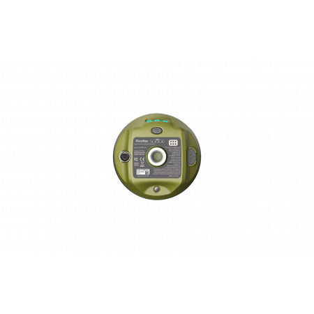
With more than 1408 GNSS tracking channels (expandable up to 2050), the ASTRA PLUS supports multiple constellations and frequencies —GPS, BDS, GLONASS, GALILEO, QZSS, NavIC and SBAS— ensuring extensive coverage and high reliability even in challenging visibility conditions. Its design integrates an internal UHF Tx/Rx modem that allows the device to be used as a base or rover without external hardware. The Tilt Survey measurement function up to 60°, combined with a 2 MP camera and AR visual guidance, enables faster and more accurate point marking, especially useful in corners, slopes, or hard-to-reach areas. Its lightweight (~550 g) and compact design (Ø 120 mm × H ~72.5 mm), with IP67 protection, makes it highly manageable for long field sessions.
| Operating System | Linux |
| Internal Memory | 16 GB |
| Connectivity | Bluetooth 5.0 + EDR, BLE; Wi-Fi 802.11 b/g/n/ac |
| GNSS – Channels | 1408 (optional up to 2050) |
| Cold Start | < 30 s |
| Hot Start | < 5 s |
| Update Rate | 20 Hz |
| RTK Accuracy | H: 8 mm + 1 ppm (RMS) V: 15 mm + 1 ppm (RMS) |
| Tilt Survey Accuracy | 10 mm + 0.7 mm/° tilt; < 25 mm at 30° tilt |
| Dimensions / Weight | Ø 120 mm × H ~72.5 mm; approx. 550 g |
| Operating Temperature | -30 °C to +60 °C |
| Protection | IP67 dust and waterproof |
| Internal Radio (UHF Tx/Rx) | Transmission power: 1 W Typical range: 3–5 km (depending on terrain/obstacles) |
Ideal for professionals in surveying, civil engineering, geodesy, land measurement, construction, mining, and site control who require a versatile, high-precision GNSS receiver designed for real-world field conditions.
You might also like