What's included in the combo:
What's included in the combo:
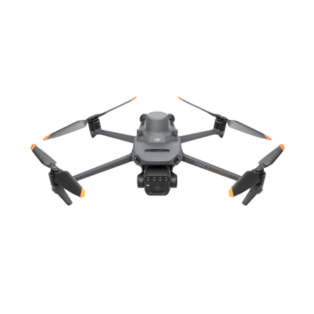
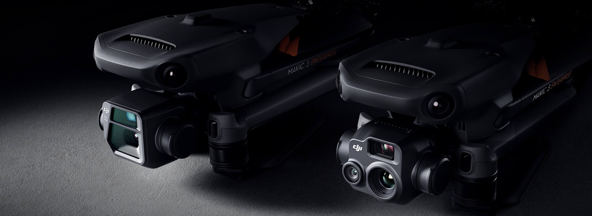
The Mavic 3 series combines a sleek, compact design that makes it easy to transport with the ability to deploy quickly in any situation. Its versatility makes it the ideal choice for both novice pilots and experienced professionals, specifically designed for long missions with high efficiency.
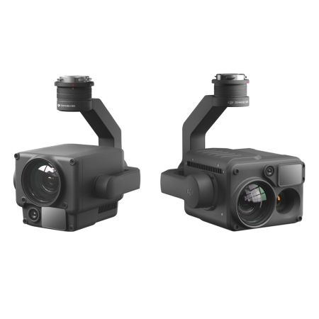
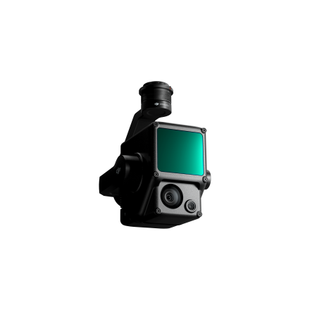
The next-generation integrated imaging system combines a 20MP RGB camera with four 5MP multispectral cameras (green, red, red edge, and near-infrared). This advanced setup captures detailed visual and spectral data, ideal for applications such as high-precision aerial surveying, crop health monitoring, and natural resource assessment.
Designed to deliver reliable results for precision agriculture, environmental studies, and technical inspections.
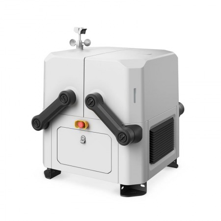
The DJI Mavic 3M features a sunlight sensor that measures solar radiation in real time and records it in each image file. This enables accurate light compensation during 2D reconstruction, significantly improving the quality of results for indexes like NDVI.
This system ensures greater accuracy and consistency in multispectral data, even across flights conducted in different lighting conditions.
The DJI Mavic 3M includes an RTK module synchronized with the flight controller and cameras within microseconds, ensuring accurate location capture of each image center. With this technology, high-precision aerial surveys can be performed without ground control points (GCPs). Every pixel is recorded with maximum accuracy, making the Mavic 3M ideal for applications in agriculture, mapping, and land management.
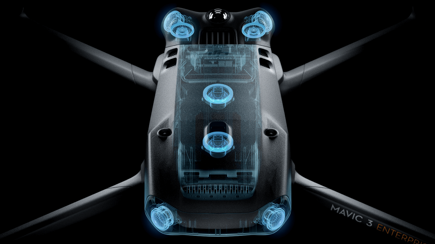
Real-time terrain follow |
Automatically adjusts altitude when mapping areas with varying elevations, without needing to import external elevation data, thanks to the Mavic 3E’s omnidirectional sensing system. |
Smart oblique capture |
Boost mission efficiency with Smart Oblique Capture. During flight, the gimbal rotates in three directions: front, center, and rear. Two routes are enough to capture all required photos for high-precision 3D modeling. |
Live mission recording |
Records mission actions like aircraft movement, gimbal orientation, photo capture, and zoom level to create sample files for future automated flights. |
Corridor mission planning |
Create automated flight missions along highways, rivers, pipelines, etc., using Corridor mission planning. Just draw a line on the map and the function splits the area into mappable segments. |
Request more information about the DJI Mavic 3 Enterprise and get yours today.
You might also like