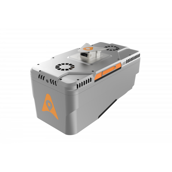

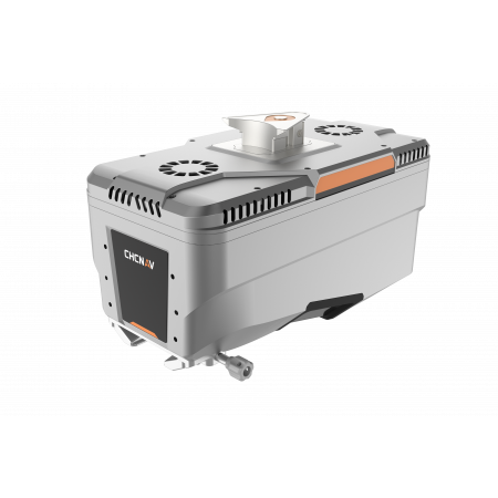
The AlphaAir 15 is a lightweight, high-performance airborne LiDAR system, ideal for capturing high-density data over large areas.
The AlphaAir 15 is a lightweight, high-performance airborne LiDAR system, ideal for capturing high-density data over large areas.
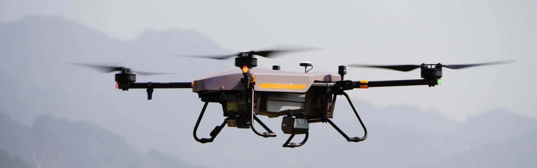
With a range of 1800 m, 2 million pulses per second, and compatibility with multiple platforms (drones, light aircraft, and helicopters), it is designed for surveying, urban planning, corridor mapping, and vegetation analysis applications.
| High-precision LiDAR | 15 mm linear accuracy at 150 meters. |
|---|---|
| High penetration | Up to 16 returns per pulse to penetrate vegetation. |
| Multi-platform | Easy integration with UAVs, light aircraft, and helicopters. |
| Imaging options | Multiple camera types for high-resolution data fusion. |
The AlphaAir 15 (AA15) offers 15 mm linear accuracy at 150 m, thanks to its patented tilted prism technology. This precision ensures reliable data for complex projects like corridor mapping, where high-density point clouds are essential.
With a range of up to 1,800 m and scanning capability at 700 m altitude, the AA15 covers large areas with minimal precision loss—ideal for mapping roads, power lines, pipelines, and railways.
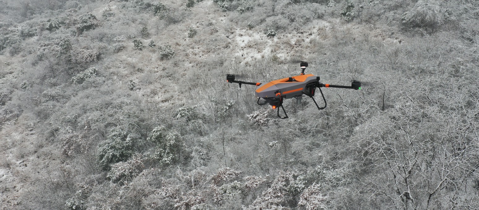
This unit excels in densely vegetated areas, achieving up to 16 returns per pulse thanks to its multilayer scanning. This facilitates the acquisition of more ground points for accurate digital models.
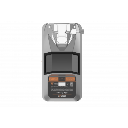
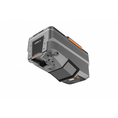
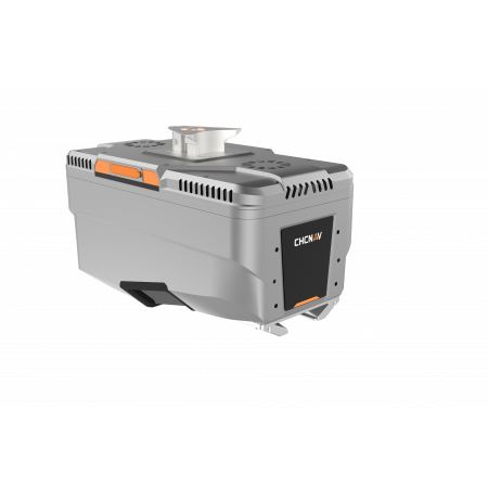
Weighing only 2.5 kg and equipped with the AlphaPort interface, the AA15 integrates quickly and easily into UAVs, aircraft, and helicopters, enabling fast and hassle-free missions.
Captures 2 million points per second, allowing for detailed and accurate 3D environment reconstruction—ideal for urban inspection, road mapping, and power line surveys.
Compatible with calibrated 45 MP, 61 MP, and 130 MP oblique cameras, enhancing the photogrammetric workflow by combining high-resolution imagery with LiDAR data to produce precise 3D models.
Part of CHCNAV’s complete ecosystem:
Designed to operate under demanding conditions: –20 °C to +50 °C temperature range, IP64 protection, and guaranteed robustness and resistance.
| Parameter | Detail |
|---|---|
| Range | Up to 1,800 m |
| Pulses per second | 2,000,000 pts/s |
| Field of view | 75° |
| Returns | Up to 16 per pulse |
| GNSS positioning | Full GNSS |
| IMU | 600 Hz |
| Position accuracy | < 5 cm horizontal / < 5 cm vertical |
| Total weight | 2.5 kg |
| Temperature range | –20 °C to +50 °C |
| Sealing | IP64 |
| Storage | 512 GB (expandable to 1 TB) + Ethernet |
You might also like


