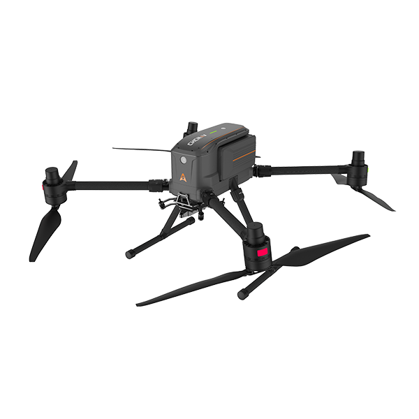

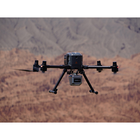
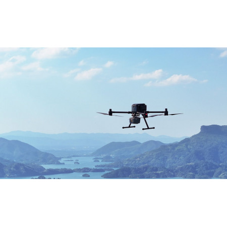
The X500 is a high-performance multirotor drone designed for professional surveying, mapping, inspection, and emergency response missions.
The X500 is a high-performance multirotor drone designed for professional surveying, mapping, inspection, and emergency response missions.
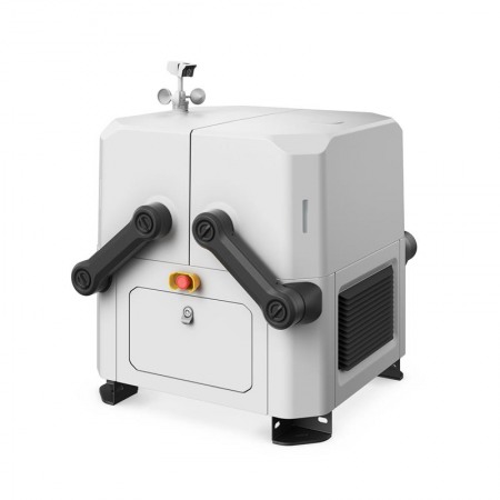
With its robust structure (IP55) and ability to integrate multiple sensors, the CHCNAV X500 is a versatile and reliable tool, ideal for operating in complex environments and under demanding conditions.
The X500 features dual GNSS, triple IMU, millimeter-wave radar, V-SLAM system, and redundant flight control, ensuring precise navigation, real-time obstacle detection, and safe landings—even on moving vehicles or in urban environments.
HD FPV video transmission (up to 20 km range) and the SmarGo control software allow for automatic flight planning, real-time monitoring, and BVLOS operation (Beyond Visual Line of Sight)—all from a clear and intuitive 10.1” touchscreen interface.
The CHCNAV X500 is more than just a drone: it’s a professional aerial platform designed to deliver maximum autonomy, adaptability, and safety. It’s ideal for surveyors, engineers, emergency teams, and professionals who require reliability on every flight. Its ease of use and compatibility with multiple sensors make it a solid investment for complex, long-range projects.
You might also like