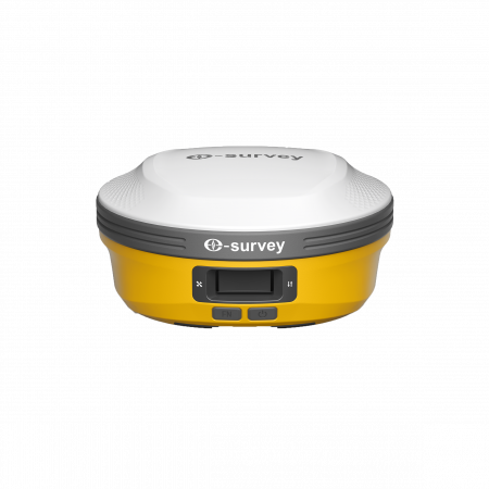
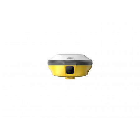
The eSurvey eRTK25 is a high-precision GNSS receiver that combines laser ranging with a dual wide-angle visual measurement system, designed to deliver accurate results even in demanding environments such as bright sunlight, confined spaces, or extreme temperatures.
The eSurvey eRTK25 is a high-precision GNSS receiver that combines laser ranging with a dual wide-angle visual measurement system, designed to deliver accurate results even in demanding environments such as bright sunlight, confined spaces, or extreme temperatures.
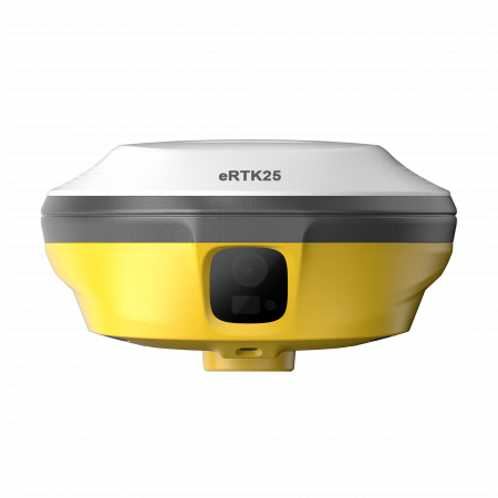
The eRTK25 introduces a new class of visual GNSS receivers, integrating high-accuracy laser measurement and augmented reality with CAD drawings to achieve superior field productivity.
It is ideal for industrial, construction, and geospatial applications that require centimeter-level accuracy without physical contact.
By combining laser and dual-vision technologies, the eRTK25 enables precise coordinate capture without physically reaching the point. This is essential in hazardous, inaccessible, or high-temperature environments.
CAD designs are overlaid directly onto the real-world environment via the display or viewer, allowing a more intuitive and accurate stakeout process. The CAD AR Stakeout function shortens working time and minimizes errors, simplifying complex construction and engineering tasks.
The eRTK25 laser system provides non-contact centimeter-level measurements over an operational range of 0.1–50 m with an accuracy of ±1 cm + 5 mm/m. Ideal for confined spaces, walls, edges, or areas where direct contact is not possible.
The eRTK25 allows accurate measurements without leveling the pole, even with tilts up to 60°. Its integrated IMU ensures dynamic stability, maintaining accuracy even if the pole moves—as long as the tip remains steady.
With its integrated UHF modem of up to 2W, the eRTK25 provides communication over distances up to 15 km under optimal conditions. It is compatible with major international protocols, ensuring full interoperability with other base and rover systems.
With 1408 GNSS channels, the eRTK25 simultaneously processes signals from GPS, GLONASS, Galileo, BeiDou, QZSS, NavIC, SBAS, and L-Band, ensuring stable and precise positioning worldwide, even in urban or obstructed environments.
| Constellations | GPS, GLONASS, Galileo, BeiDou, QZSS, NavIC, SBAS, L-Band |
|---|---|
| GNSS Channels | 1408 |
| IMU Tilt | Up to 60° dynamic compensation |
| Cameras | Dual 5 MP (front and bottom wide-angle) |
| Laser | Range: 0.1–50 m / Accuracy: ±1 cm + 5 mm/m |
| UHF Frequency | 410 – 470 MHz |
| TX Power | Up to 2 W |
| Max Communication Distance | Up to 15 km |
| Internal Memory | 8 GB |
| Battery | Built-in Li-ion 3.6V / 13400 mAh |
| Operating Time | 10 hours with AR and laser active |
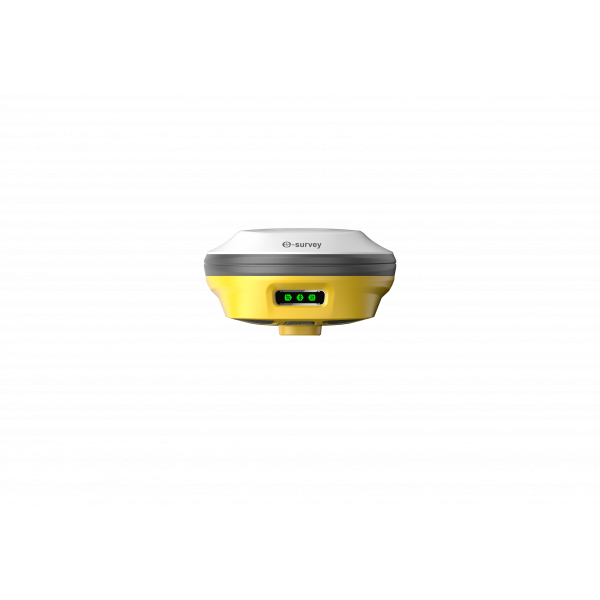
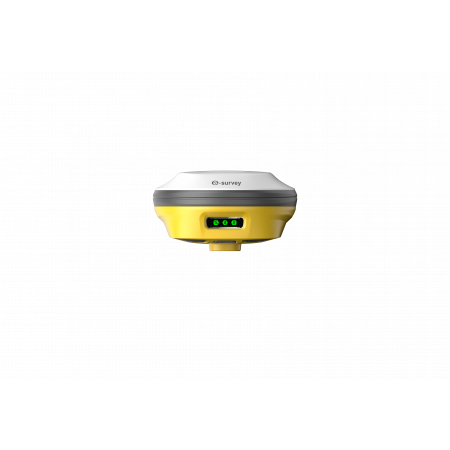
| Display | LED indicators for mode and status |
| Weight | 950 g |
| Dimensions | Φ136 × 74 mm |
| Durability | IP67, 2 m drop-resistant, 100% vibration-proof |
| Operating Temperature | -30 °C to +70 °C |
| Connectivity | Bluetooth 5.0 BR+EDR & BLE, Wi-Fi 2.4G/5G, Global 4G LTE, USB-C |
| Operating System | Linux |
| Compatible Software | SurPad, NMEA, RTCM, RINEX |
With its combination of laser, vision, and GNSS precision, the eRTK25 is ideal for:
Global Geosystems is the official distributor of eSurvey in Spain and Portugal. For demonstrations or technical inquiries about the eRTK25, please contact our team.
You might also like