A single central control panel for all Leica Geosystems detection solutions.
Professional-grade utility mapping solution in the market. A unique cloud solution that offers unmatched performance.
A single central control panel for all Leica Geosystems detection solutions.
Professional-grade utility mapping solution in the market. A unique cloud solution that offers unmatched performance.
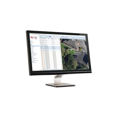
Leica DX Manager is the only professional-grade public utility mapping solution on the market. A unique cloud-based solution offering unparalleled performance. Manage projects, tasks, and spatial data from a central dashboard for all Leica Geosystems detection solutions.
Update drawings, raw data, location images, data layers, and mobile forms remotely and in real-time at a professional level instead of manually updating individual users one by one. With Leica DX Manager, you have all the dashboards, status updates, and project management tools in one platform. Now, project managers can track field operations in real-time and make critical decisions with a better understanding of the current situation.
Manage the entire workflow. Share data with all devices and users in your company.
An easy-to-use online portal allows the management of all aspects of public utility location task documentation. Users can switch between street views, satellite images, and cartographic maps. Topographic data collected in the field is instantly available and users can access it anytime and anywhere.
Leica DX Manager integrates the entire Leica Geosystems detection portfolio into a simple topographic workflow, allowing users to apply everything from depth measurements to GNSS measurements. The result is a seamless blend of both worlds, with all location data reviewable in Leica DX Manager or any export format.
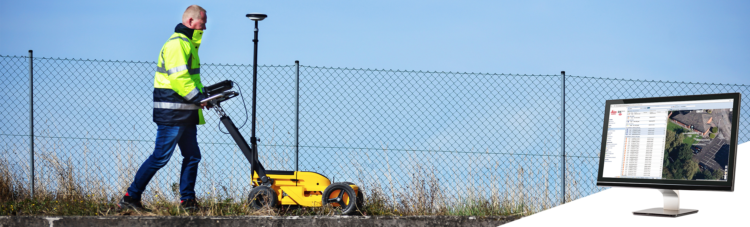
The Leica DX Field mobile application is designed to offer superior user experience and productivity, as well as ensure data quality and accuracy.
Ensure that measured data always meets your quality expectations (up to centimeter accuracy with RTK), as Leica DX Manager notifications constantly monitor system parameters. All quality parameters are stored in metadata format. In addition to public utility mapping, it provides work orders, time tracking, and document management.
You might also like