
Advanced mobile mapping now accessible to more users
Advanced mobile mapping now accessible to more users
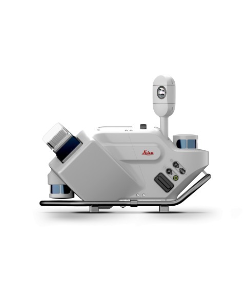
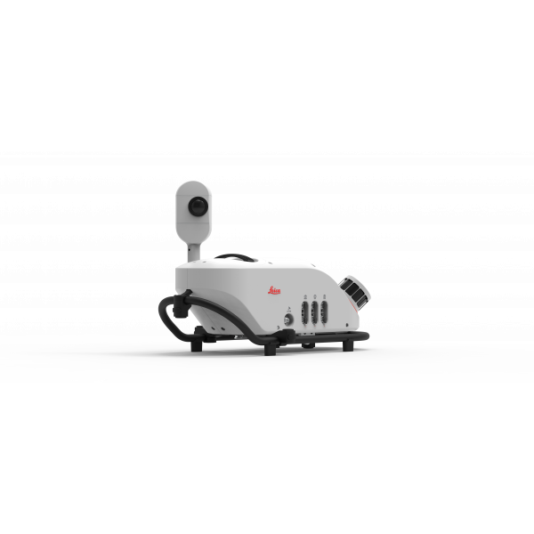
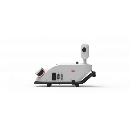
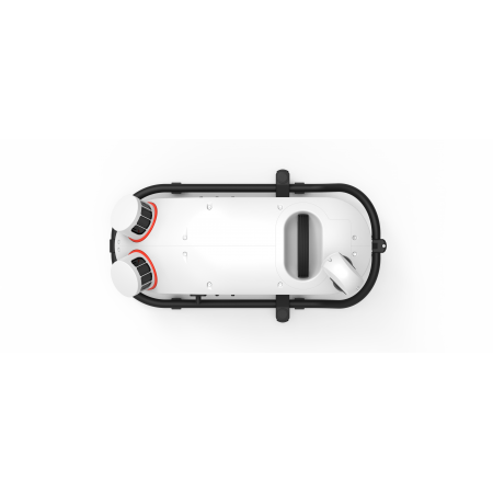
The new Pegasus TRK300 mobile mapping system is designed to make advanced mapping technology more accessible. This system offers up to 300 meters of range, enabling efficient data capture across wide corridors and open areas, reducing the need for multiple passes.
| Extended coverage | Up to 300 meters range for efficient mapping of large-scale areas. |
| Compact and lightweight design | Easy to install and operate by a single user. |
| Automated workflows | Integrates with software for autonomous route planning and data collection. |
| Privacy compliance | Built-in features for automatic face and license plate blurring to comply with privacy regulations. |
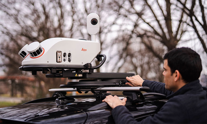
The Pegasus TRK300 is ideal for asset management, infrastructure construction, transportation, and base mapping for autonomous vehicles. Its ergonomic design and advanced capabilities make it an accessible tool for both experienced professionals and new users in the field of mobile mapping.
You might also like