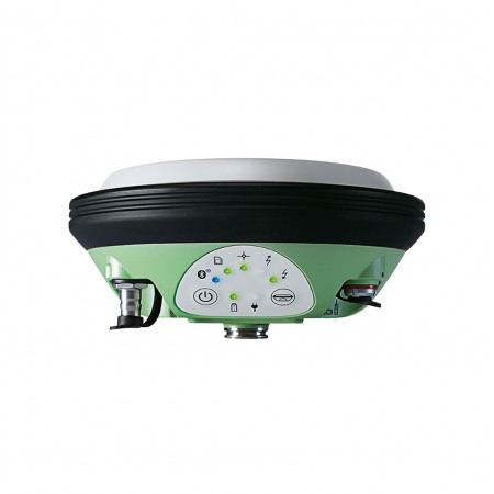
The Leica SmartStation is an all-in-one total station system that combines GNSS technology with the precision of a robotic total station. It offers a complete solution for surveying, engineering, and construction, allowing for precise and efficient measurements, even in challenging conditions.
With its compact and portable design, it is easy to transport and set up in the field. Additionally, its intuitive software and connectivity options make it easy to use for any measurement and modeling task.
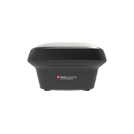
Easily determine the total station's position with GPS.
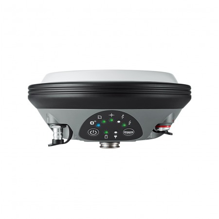
The Leica SmartStation is an all-in-one total station system that combines GNSS technology with the precision of a robotic total station. It offers a complete solution for surveying, engineering, and construction, allowing for precise and efficient measurements, even in challenging conditions.
With its compact and portable design, it is easy to transport and set up in the field. Additionally, its intuitive software and connectivity options make it easy to use for any measurement and modeling task.
Easily determine the total station's position with GPS.
Leica SmartStation is a unique high-performance total station that seamlessly integrates a powerful GNSS receiver. Simply set up the SmartStation and let GNSS determine the position of the total station.
With SmartStation and the versatile SmartPole, fewer control points and fewer stations are required, while flexibility is optimized.

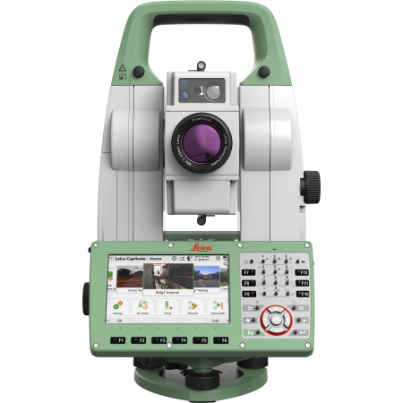
With all the software inside, all total stations and GNSS operations are controlled through the total station keyboard. All data is stored in the same database - on the same SD card, USB memory, or internal memory. All measurements, statuses, and other information are displayed on the total station screen. All components combine perfectly where everything is integrated into a compact unit.
With SmartStation you don't need to worry about control points, traverses, and resections. Just set up wherever is convenient and the wizard will guide you through the setup. In a few seconds, RTK determines the position to centimeter accuracy at ranges up to 50 kilometers from a reference station. With SmartStation you are ready to work in the shortest possible time - simply fix the position with GNSS and then survey with the total station.
With SmartStation's modular design, you can:
Once the SmartStation is accurately positioned, remove the smart antenna, place it on a pole, and use it with the Leica Viva CS15 or CS10 controller as a standalone unit.
Topotienda is your reference store for new and used topographic instruments. The best price in the topographic market guaranteed.
You might also like