A unique tool from Leica Geosystems.
The Leica Disto 3D is an optimal device for capturing and projecting precise three-dimensional measurements.
A unique tool from Leica Geosystems.
The Leica Disto 3D is an optimal device for capturing and projecting precise three-dimensional measurements.
The Leica 3D DISTO™ is a unique tool for capturing and projecting precise three-dimensional measurements. The speed and accuracy of the 3D Disto bring unprecedented efficiency to applications such as:
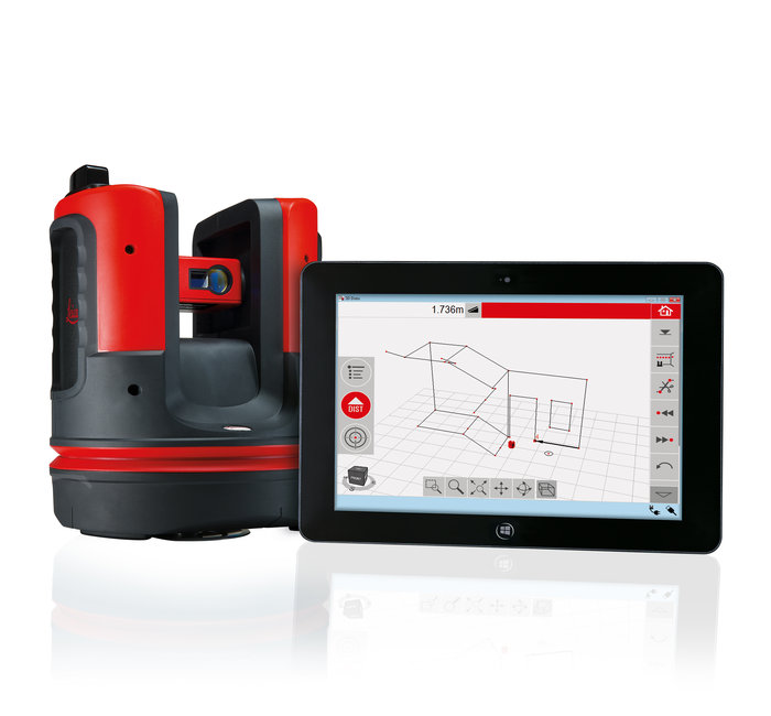
No matter what you do with a 3D Disto, accuracy is paramount. Since form follows function, the 3D Disto is a cross between a surveyor's robotic total station and a handheld DISTO.
Like a robotic total station, the horizontal and vertical rotation axes of the 3D Disto are motorized: manually bring the laser point to the correct starting point, aim using video transmission by tapping your target on the control unit tablet or a Windows tablet, and then watch as the 3D Disto adjusts with a microphone until the laser point is on target.
The laser gets the glory, but to measure with 1 mm accuracy at 10 m (±1/16" accuracy at 33'), the 3D Disto measures the horizontal angle, vertical angle, and slope distance with angle sensors taken from our total stations, a technology that Leica Geosystems has been perfecting for over 90 years.
Maintain control at all times, regardless of the room's shape. Effortlessly collect and record distances, areas, slopes, and angles, even in inaccessible points. Forgotten measurements and writing errors are now things of the past.
In both automatic and manual modes, you can measure entire rooms, walls, windows, structural connections, or stairs from a single parking point.
Direct to the point. The Leica 3D Disto projects your design, from ceiling grids to wall layouts in a project, onto any surface, point by point.
Quick tools that inspire the user: establish the plumb line, create level reference points, or transfer plots or locations with precision.
The improved Leica 3D Disto software for smart devices with Windows® can now display results in three dimensions. Thanks to 3D navigation, it is comfortable and simple to check measurement points.
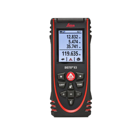
You might also like