Leica Cyclone MODEL
Cyclone MODEL
Leica Cyclone MODEL
Stand-alone 3D modeling software for analyzing and converting rich laser scan data
The unparalleled versatility and performance make Leica Cyclone MODEL the most popular standalone software in the industry for analyzing rich laser scan data and converting it into deliverables.
Among its advantages, Cyclone MODEL features powerful point cloud visualization and navigation, along with the most comprehensive set of tools in the industry. These tools cover a wide range of applications in engineering, construction, asset management, heritage, forensic science, and other areas.
Cyclone MODEL provides unmatched office productivity by automating many time-consuming tasks and even allowing multiple users to work simultaneously on the same datasets, thanks to Cyclone's database/object model. Finally, Cyclone MODEL reflects the data quality and accuracy advantages that users worldwide expect from Leica Geosystems.
Features and Benefits
- Scripting functionality
- Direct import of Leica HDS and Leica Pegasus project data, including mobile trajectories and images
- Direct import of DotProduct *.dp files
- Batch import and automatic image-to-scanner alignment for iSTAR, Spheron, and Nodal Ninja external camera workflows
- Advanced texture mapping options between images and scans with a full HDR tone map editor
- Multiple fast and convenient viewing modes
- Flight mode for smooth and 3D navigation, including 3D mouse support
- Full support for publishing and reading LGS (Leica Geosystems Universal Project files). LGS files are fully compatible with all Leica Geosystems laser scanning / HDS software products. All your digital reality data, anywhere.
- Support for BLK360 IR images, including point temperature collection
- Support for pre-registered Cyclone FIELD 360 projects
- Compatibility with the inertial visual system links (VIS) RTC360
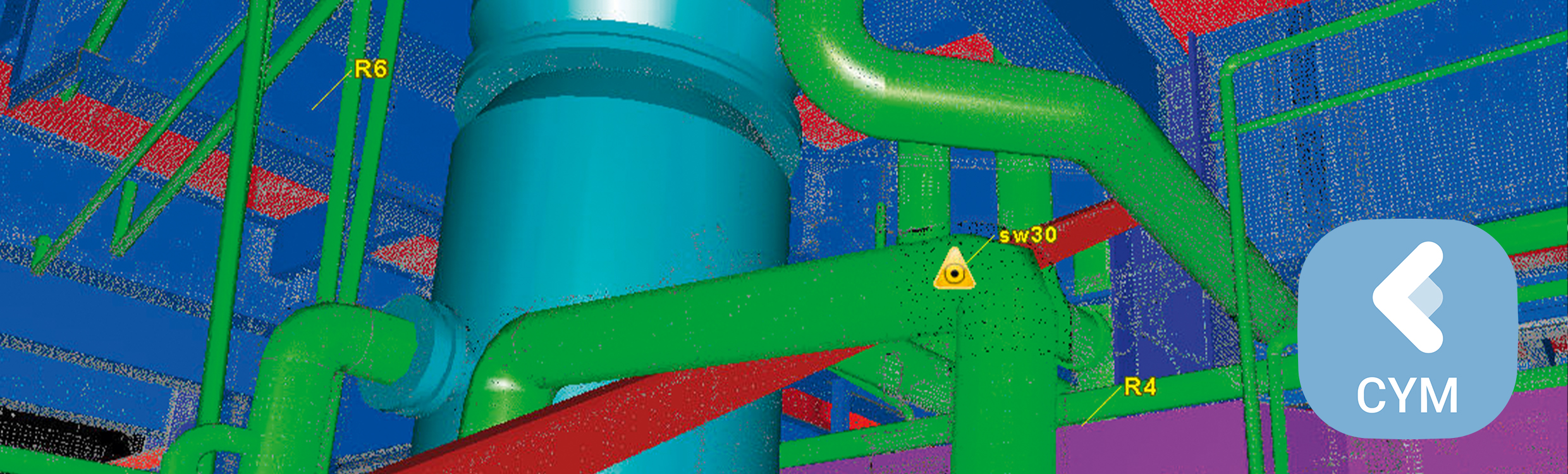
Plant and building tools include:
- Best-fit modeling
- Standard catalog model fitting
- Collision detection
- Auto pipe finder and pipe run finder to automatically find and fit cylinders
Civil and related tools include:
- Breakline generation from coded feature templates
- SmartPicks and Grid Points tools
- Virtual Surveyor data collector emulation
- Contour, cross-section, and profile extraction
- TIN/Mesh creation, including grid option
- Volume, area, and clearance calculations