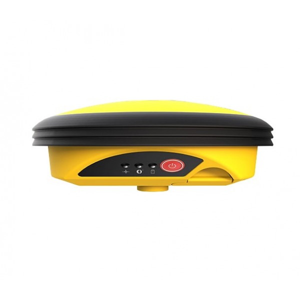
Leica iCON gps 30
The iCON gps 30 antenna is a high-precision GNSS receiver that allows for topographic and geodetic surveys with great accuracy and reliability.
With its advanced technology and robust design, it offers an efficient solution for applications in construction, engineering, and surveying.
Leica iCON gps 30 GNSS Antenna
![]()
Designed to facilitate the transition from traditional measurement methods to modern digital methods, the iCON GPS 30 offers an economical and easy-to-use solution for measurement tasks in the construction sector.
Equipped with the Leica iCON Site field software, the iCON GPS 30 can be used for, among other things:
- Increasing the productivity of any construction project by adapting the digital measurement methodology.
- Defining and documenting the position of water and sewer lines, oil and gas pipelines, or power and communication lines as part of the utility construction process.
- Marking general layouts for subsequent building construction tasks or subdividing real estate.
- Transferring design layouts to the field in landscaping or road construction projects.
- Simple surveys of ground control points for UAV workflows.
Designed with the operator in mind, the iCON GPS 30 is an exceptionally lightweight and compact RTK GNSS Rover, providing consistently accurate positions through advanced RTK technologies.
Integrated with the iCON Site field software, it adapts to typical construction workflows, the iCON gps 30 speaks the same language as construction professionals.
The iCON GPS 30 is compatible with:
- Leica iCON CC70 and CC80 field controllers.
- Leica iCON Site field software
You might also like


