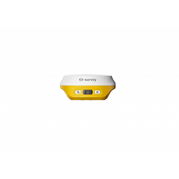

The eSurvey eRTK10 mini is a high-precision IMU-based GNSS receiver with an ultracompact and lightweight design. Weighing only 380 grams, it delivers professional-grade performance in a pocket-sized format, ideal for surveying, engineering, agriculture, construction, and any application requiring precise and efficient RTK positioning.
The eSurvey eRTK10 mini is a high-precision IMU-based GNSS receiver with an ultracompact and lightweight design. Weighing only 380 grams, it delivers professional-grade performance in a pocket-sized format, ideal for surveying, engineering, agriculture, construction, and any application requiring precise and efficient RTK positioning.
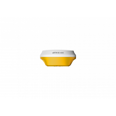
Built from magnesium alloy for enhanced durability and better heat dissipation, the eRTK10 mini combines a multiconstellation GNSS module with an IMU tilt compensation system of up to 60°.
This allows users to measure accurate points even in hard-to-reach areas, without the need to level the pole.
Thanks to its built-in camera, the eRTK10 mini displays the real position of the stakeout point on screen. Simply follow the visual guide to reach the target without moving the pole repeatedly. This feature boosts stakeout efficiency by up to 50% and makes work easier even for less experienced users.
Its pocket-size design makes it easy to carry and use as a standalone receiver or integrated into portable or industrial systems. It includes LED indicators, voice prompts, and full compatibility with Bluetooth 5.0 EDR & BLE.
Through its web interface or SurPad, users can configure working modes (base, rover, or static), view satellites, download RAW or RINEX data, and update firmware with ease. The system is fully compatible with standard NMEA formats.
| Constellations | GPS, GLONASS, Galileo, BeiDou, QZSS, SBAS, IRNSS |
|---|---|
| Maximum tilt angle | 60° |
| Weight | 380 g |
| Body material | Magnesium alloy |
| Operating time | Up to 12 hours as rover |
| Charging | USB-C with 18W PD fast charge (1.5h) |
| Connectivity | Bluetooth 5.0 EDR & BLE, Wi-Fi 2.4G/5G, USB-C |
| Software compatibility | SurPad, NMEA, RINEX 2.11/3.02 |
| Advanced functions | IMU Tilt, AR Stakeout, RAW data logging, Automatic backup |
Thanks to its centimeter-level accuracy and portability, the eRTK10 mini is perfect for:
Global Geosystems is the official distributor of eSurvey in Spain and Portugal. For demonstrations or technical inquiries about the eRTK10 mini, please contact our team.
You might also like


