Leica ULTRA
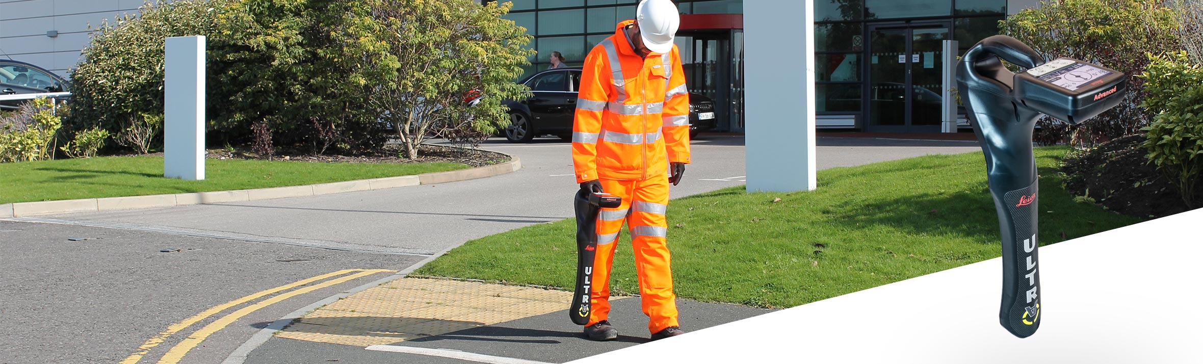
Location with superior accuracy, quickly and more reliably.
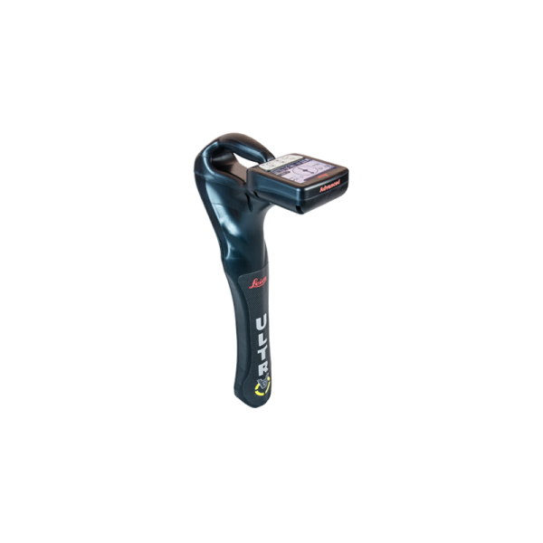
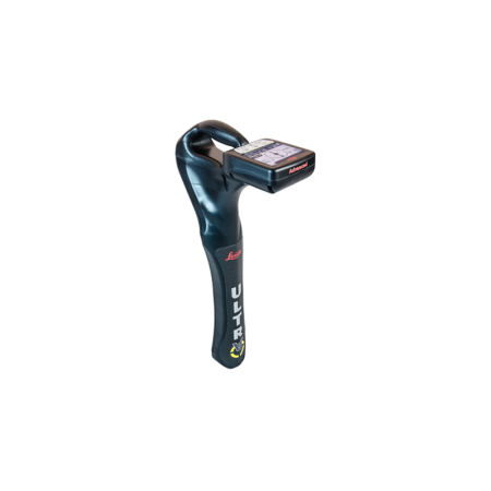
Save time and improve confidence in results with the Leica ULTRA, our most advanced precise utility tracking instrument.
Leica ULTRA Utility Tracking System
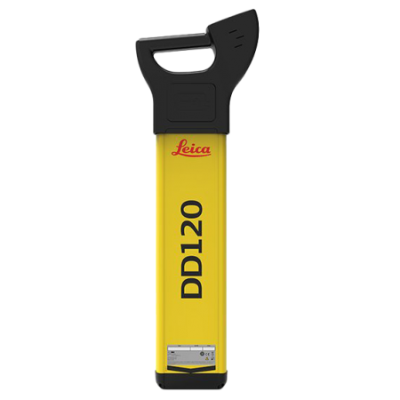
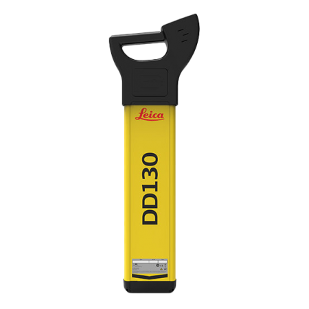
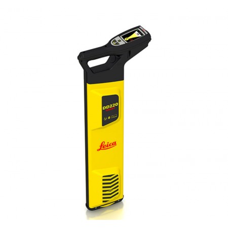
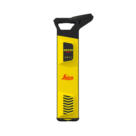
The complexity of underground utility networks is increasing, and obtaining accurate information about their location has never been more important. Protecting underground resources during excavation work requires precise mapping and location of existing utilities.
The Leica ULTRA, which integrates intelligent signal processing with flexible and unique operating modes, accurately tracks underground utility conduits to ensure the safety of underground excavations and utility surveys. Excellent performance with ease of use and flexibility.
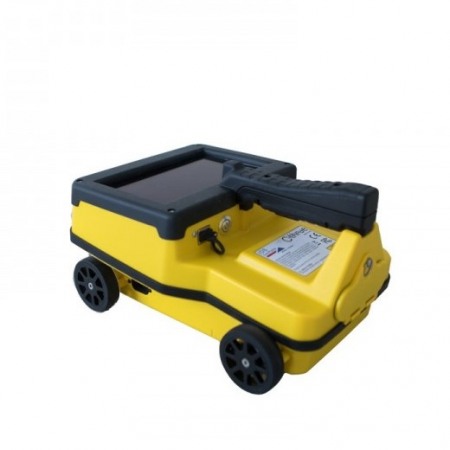
Specifically optimized for utility tracking
- Configuration for demanding environments: Optimize the instrument to tackle the most demanding and complex site conditions. The Leica ULTRA locator can be configured for different project environments and features over 100 programmable operating frequencies. Programming modes can adapt the antennas to improve accuracy and repeatability.
- The best frequencies in congested environments: For work in congested environments, the Leica ULTRA incorporates Ambient Interference Measurement (AIM), which digitally analyzes the surrounding area, detecting noise and recommending the best frequencies for accurate utility tracking.
- Track utilities through any obstruction: There will always be occasions when a utility conduit is near or under an obstruction. Thanks to the displacement point measurement, the Leica ULTRA can locate the target conduit if it is not accessible from above. The feature uses available data to estimate horizontal and vertical distance (depth).
- Transmitter to receiver link: Control the transmitter directly from the receiver with the Leica ULTRA’s cutting-edge communication link between the receiver and transmitter. No more walking from the tracking line to the transmitter, as you can adjust the settings automatically.
- High-clarity operational display: High-clarity graphical LCD display, with automatically pointing arrows. Ensure accurate and fast tracking in all conditions, day or night, thanks to the backlit display.
- GNSS and GIS integration: One-step data capture solution for a single person, ideal for utility mapping or surveying applications. The Leica ULTRA integrates with GNSS or GIS data capture devices.
You might also like