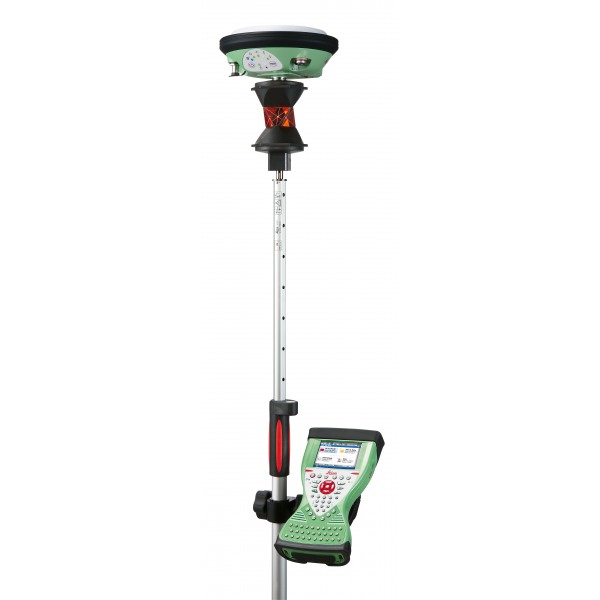
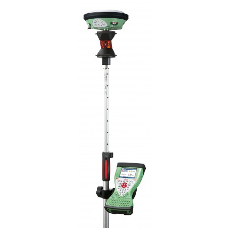
The Leica Viva SmartPole is an innovative high-precision solution for the collection of topographic data in the field. This system combines a telescopic pole with a GNSS (Global Navigation Satellite System) antenna and a high-speed radio modem to transmit data in real time.
With the SmartPole, surveying professionals can capture accurate data quickly and efficiently, which translates into increased productivity and quality in projects.
Work with total ease. Complete freedom to easily switch from GNSS to TPS.
Consulta nuestras condiciones de financiación. / Consult our financing conditions.
Leica SmartPole offers complete freedom of choice: you can easily switch from GNSS to TPS and vice versa. Measure each point with GNSS or TPS, or quickly combine TPS and GNSS measurements for TPS setups. Simply tap one of the icons and the SmartPole will immediately switch, giving you total flexibility for maximum productivity.
Simply switch from GNSS surveys to TPS surveys:
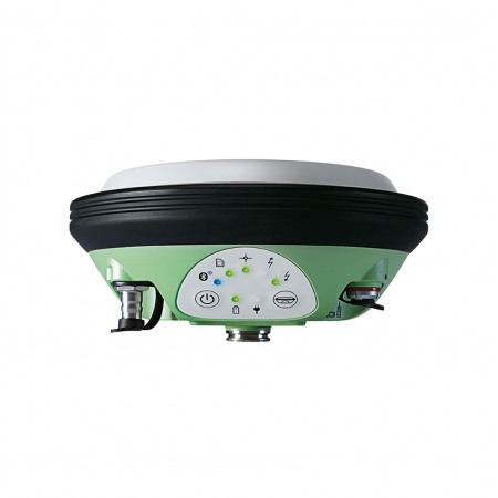
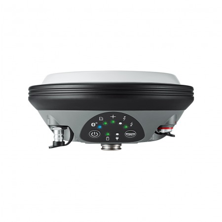
The SmartAntenna incorporates GPS and GLONASS technologies and provides the maximum performance of SmartTrack+. Total flexibility for use with SmartPole, SmartStation, or SmartRover.
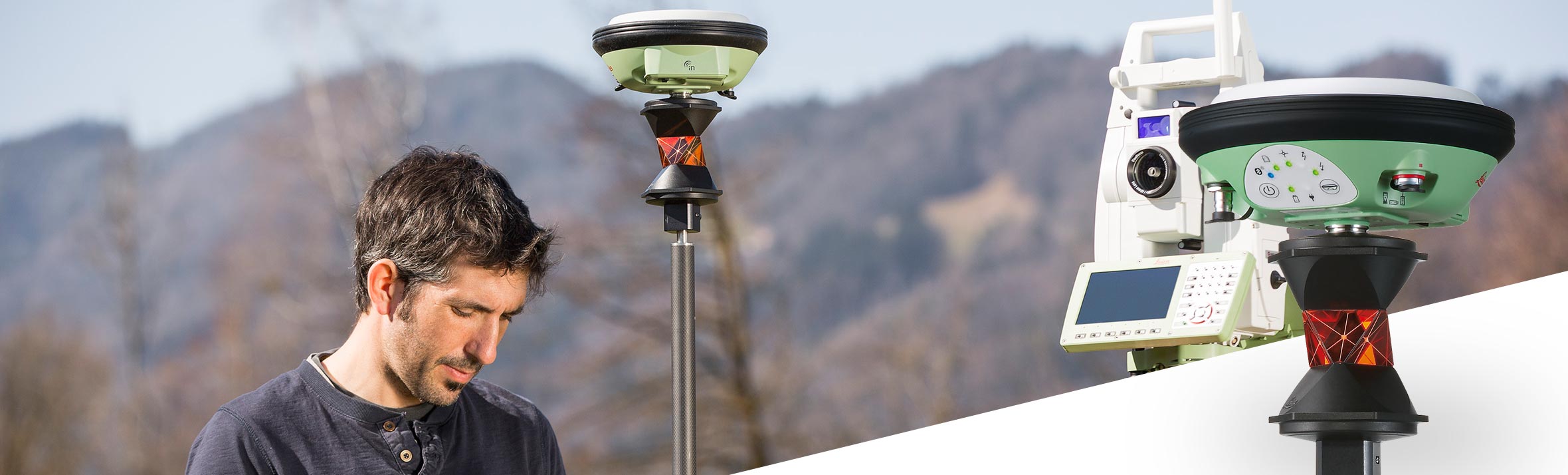
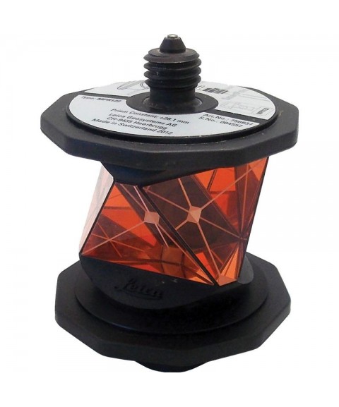
A high-performance, lightweight 360° prism for use in precision measurements. The prism allows connecting a Leica SmartAntenna and is resistant to falls. It is the perfect reflector for the Leica SmartPole.
Conveniently combine data in the field or office via wireless LAN, USB, Bluetooth® wireless technology, 3.5G mobile broadband, and CF/SD cards.
No longer is it necessary to first measure orientation points and then detail points. With SmartPole, simply start the survey. If a point can be measured with GNSS and TPS, this point can be used as a control point on the fly. Choose control points that offer the best geometric distribution while completing the survey simultaneously.
The location of the control points often restricts where the TPS can be placed. With SmartPole, you can choose the most convenient location for the total station. Shift is no longer necessary - every TPS setup can be performed independently with new coordinates and orientation determined by SmartPole GNSS.
Topotienda is your reference shop for first and second-hand surveying instruments. The best market price guaranteed.
You might also like