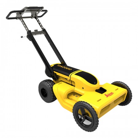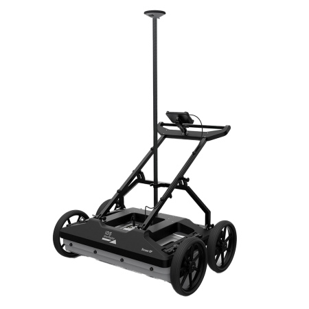
The Leica DSX Georadar is an advanced tool for precise and efficient underground detection. With its cutting-edge technology, this device delivers reliable results instantly. Its ergonomic design and easy handling make it an ideal choice for construction professionals, engineers, and archaeologists.
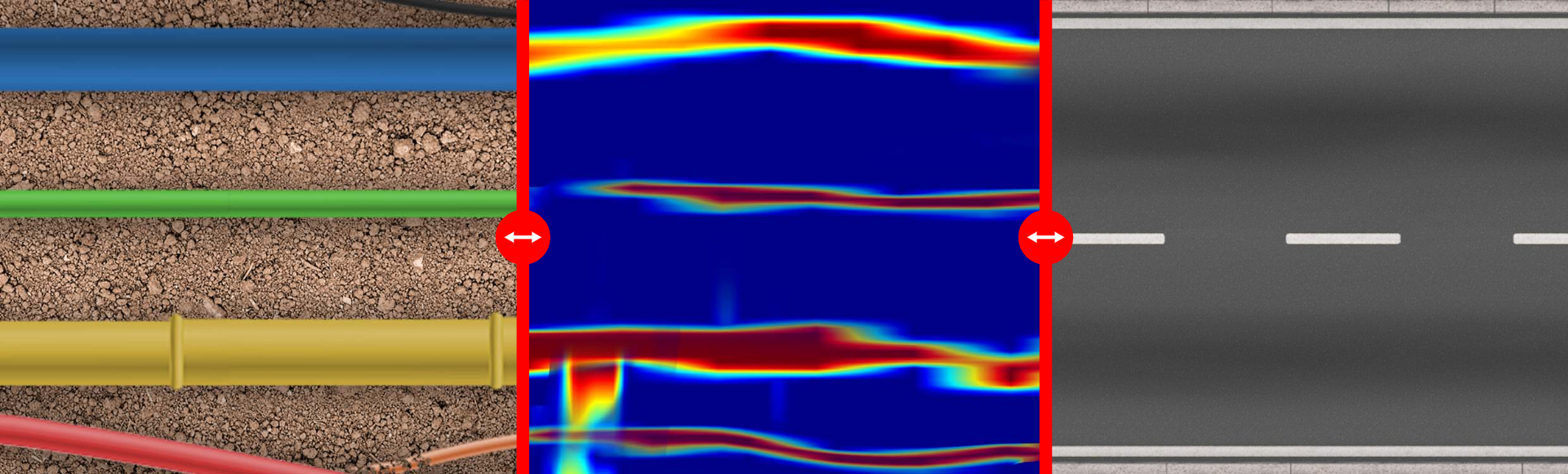
The Leica DSX utilizes a combination of Ground Penetrating Radar (GPR) and Global Positioning System (GPS) technology to provide a detailed and accurate visualization of what lies beneath the ground. It can detect pipes, cables, metal structures, voids, and other buried objects, making project planning and damage prevention easier.
The Leica DSX Georadar is an advanced tool for precise and efficient underground detection. With its cutting-edge technology, this device delivers reliable results instantly. Its ergonomic design and easy handling make it an ideal choice for construction professionals, engineers, and archaeologists.
The Leica DSX utilizes a combination of Ground Penetrating Radar (GPR) and Global Positioning System (GPS) technology to provide a detailed and accurate visualization of what lies beneath the ground. It can detect pipes, cables, metal structures, voids, and other buried objects, making project planning and damage prevention easier.
Consulta nuestras condiciones de financiación. / Consult our financing conditions.
For utility repair and maintenance companies, civil engineering, and surveying, the Leica DSX utility detection solution, consisting of portable hardware with intuitive software, allows for easy location, visualization, and mapping of all underground utilities. Unlike any other Ground Penetrating Radar (GPR) system, the Leica DSX maximizes productivity with innovative and advanced software that automates data analysis, and automatically creates a 3D map of existing underground services in the field.

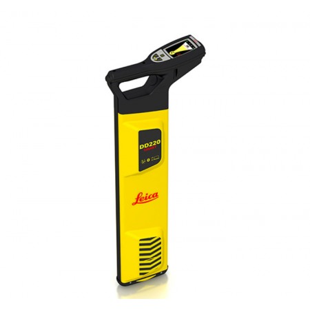
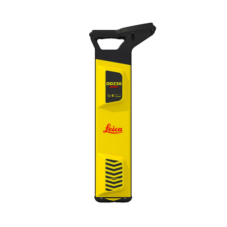
Start by collecting service records from the utility company or your local municipality. Upload them to DXplore. If possible, visit the site before starting work for a visual inspection. Use an Electromagnetic Locator (EML) (hyperlink) to search for power cables and conductive services and mark them on the ground.
Set up the network in the area of interest and collect information about all underground utilities with DSX and take advantage of automated and on-site supported post-processing, allowing for a 3D utility map. DSX can be used with Leica GPC/GNSS systems to generate highly accurate georeferenced maps. Use the additional information from STEP 1 in DXplore during data capture to assist in completing the background image.
Mark utilities on the ground based on the map or, for even greater efficiency, send the utility map directly to an excavator with Leica MC1 software or other Leica software packages such as DX Manager Mapping, Infinity, or Captivate. To continue processing and overlaying with additional geospatial data.
You might also like