The best solution for 3D reality capture: fast, agile, and accurate.
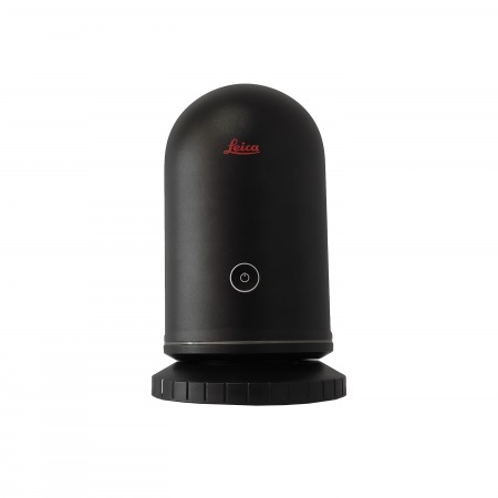
The Leica RTC360 is the most advanced laser scanning solution from Leica Geosystems, a leader in measurement and 3D laser scanning technology. Designed for professionals in architecture, engineering, and construction, the RTC360 offers exceptional speed and accuracy in capturing three-dimensional data. With its high-speed laser scanning system, the RTC360 can scan large areas and objects in a matter of minutes, allowing professionals to save time and reduce costs in their projects.
In addition to its speed and accuracy, the RTC360 offers a wide range of features and functionalities to meet the specific needs of users. Its integrated color image capture technology allows users to create detailed and realistic 3D models, while its wireless scanning capability and portable, compact design make it easy to use and transport.
The best solution for 3D reality capture: fast, agile, and accurate.
The Leica RTC360 is the most advanced laser scanning solution from Leica Geosystems, a leader in measurement and 3D laser scanning technology. Designed for professionals in architecture, engineering, and construction, the RTC360 offers exceptional speed and accuracy in capturing three-dimensional data. With its high-speed laser scanning system, the RTC360 can scan large areas and objects in a matter of minutes, allowing professionals to save time and reduce costs in their projects.
In addition to its speed and accuracy, the RTC360 offers a wide range of features and functionalities to meet the specific needs of users. Its integrated color image capture technology allows users to create detailed and realistic 3D models, while its wireless scanning capability and portable, compact design make it easy to use and transport.
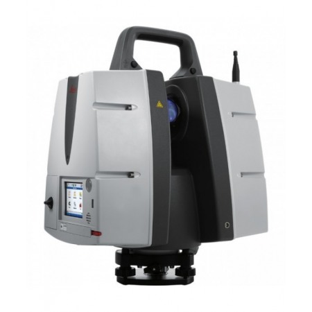
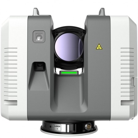
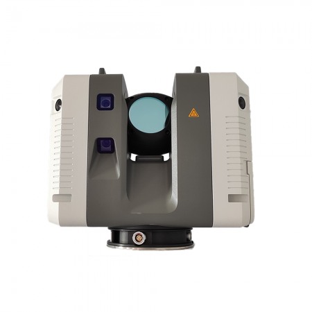
The new Leica RTC360 Laser Scanner allows the user to capture and document the environment in 3D, improving efficiency and productivity in the field and office through fast, intuitive hardware and software with maximum precision, greatly facilitating the handling of the complexities of any project.
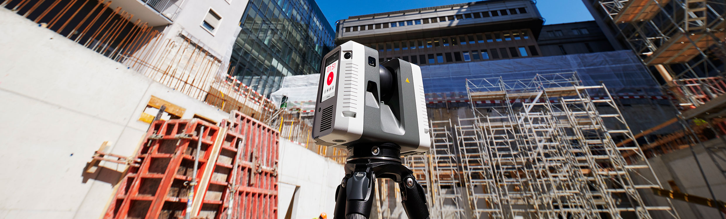
The Leica RTC360 3D laser captures reality faster than ever. With a measurement capacity of up to 2 million points per second and an advanced HDR imaging system, a complete point cloud can be acquired in less than 2 minutes. Additionally, it incorporates intelligent video cameras (VIS Technology) that track common known positions and directly align the scans, even when moving between rooms or up and down floors. Immediate transfer of field data to the office for maximum productivity.
With a minimalist, lightweight, and robust design, it incorporates a foldable tripod compact enough to fit in a conventional backpack with the RTC360 3D. The tripod incorporates mechanisms that allow it to be quickly stationed without sacrificing stability. Once set up, it scans simply at the press of a button.
Point cloud capture with less noise and HDR images, resulting in sharper, higher-quality scans. In combination with the Cyclone Field 360 App, it automatically registers point clouds, offering real-time point clouds with exceptional accuracy that can be verified on-site.
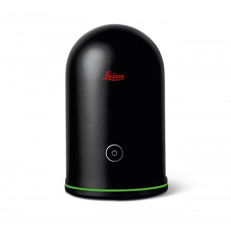
As part of Leica Geosystems' 360 reality capture solution, the high-performance Leica Cyclone FIELD 360 mobile app is the perfect field companion for the 3D laser scanner. With its intuitive user interface, remote scan control, and on-site point cloud display, navigation is a breeze, even for inexperienced users.
The RTC360 features advanced data processing software, allowing users to edit, merge, and visualize scanned data in one place. This makes the RTC360 a valuable tool for construction, inspection, and documentation projects, as well as for creating 3D models and designs.
In summary, the Leica RTC360 is an essential tool for any professional needing to quickly, accurately, and efficiently capture three-dimensional data. With its combination of speed, accuracy, and advanced features, the RTC360 is the ideal choice for any 3D construction, design, or inspection project.
You might also like