What are drones used for in surveying?

With the arrival of drones, surveying has entered a new era, characterized by greater ease in measurement processes and unprecedented accuracy.
At Topotienda, we are proud to offer DJI drones, a leader in drone technology. Our range includes the Mavic 3 Enterprise, Matrice 350 RTK, Mavic 3M, and Matrice 30 series, all designed to redefine topography.
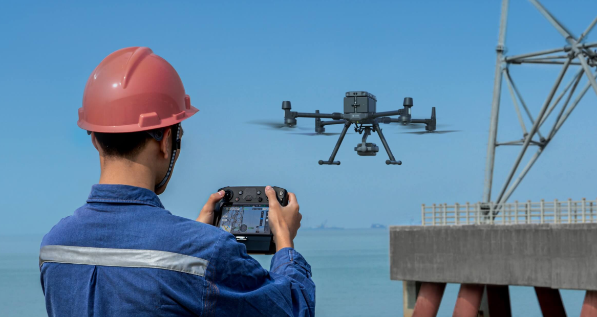
These drones go beyond simple aerial observation. Equipped with high-resolution cameras and remote sensing systems, they allow for detailed terrain measurements and assessments. They are especially useful in large-scale projects such as infrastructure construction and urban development, where precise and efficient measurements are required.
The agility and versatility of DJI drones overcome the challenges of traditional topographic methods. They can access difficult or dangerous areas without risk to personnel and capture real-time, high-resolution data, which enhances project planning and monitoring.
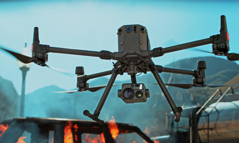
The advanced features of DJI drones, such as navigation and stabilization systems, high-definition cameras, and the ability to integrate LiDAR technology, make them valuable tools for topographers. This enables more accurate measurements and analysis in less time.
The future of topography with drones is promising. As these technologies advance, we are likely to see greater integration of drones in a variety of topographic and mapping applications, raising the precision and efficiency of these tasks to unprecedented levels.
Advantages of Drones in Topography:
- Improved Accuracy: Drones, like the DJI Mavic 3 Enterprise, use advanced technology to capture data with high precision, crucial for detailed planning and design.
- Efficiency in Data Collection: With equipment like the DJI Matrice 350 RTK, land surveys are completed much faster than traditional methods. DJI provides detailed information about its functionalities.
- Access to Difficult Terrain: Drones facilitate access to challenging areas that are difficult or impossible to reach by land, something you can see reflected in the models available at Topotienda.
- Cost and Time Reduction: Implementing drones in topographic projects leads to a significant reduction in time and resources.
Digitalization of Assets with DJI Drones
The integration of DJI drones in topography and cartography has revolutionized how professionals capture and process geospatial data. These drones not only improve efficiency in geospatial information collection but also transform how data is analyzed and utilized.
Specific Applications of DJI Drones
Topographic Surveys: Drones collect georeferenced data quickly and accurately. Using advanced photogrammetry software, these drones transform collected data into standardized results, essential for cartography and terrain analysis.
Urban Planning: DJI drones provide critical data for urban planning by creating detailed 2D and 3D models. These models integrate with GIS systems, facilitating visualization and planning for urban projects, from infrastructure development to environmental management.
Architecture, Engineering, and Construction (AEC): In the AEC sector, drones, such as the Matrice 300 RTK, are essential for land surveys and generating accurate data. This data supports the entire construction process, from initial design to construction progress monitoring.
Natural Resource Management: DJI drones play a crucial role in natural resource management. They conduct large-scale surveys, providing accurate maps and models vital for the sustainable management of resources such as forests, water, and agricultural soils.
Examples of Use Cases
- Construction Progress Monitoring: Drones are used to create highly accurate 2D maps and 3D models of the construction site in real-time. These models allow for detailed tracking of dynamic changes and daily progress of the work.
- Building Inspection: Drones can quickly generate detailed 3D models of buildings, making construction acceptance easier and simplifying routine inspection and maintenance tasks.
- Stockpile Volumetrics: Drones are efficiently deployed in hard-to-reach areas to collect high-resolution aerial images, which are used to create highly accurate point clouds and 3D models. This is especially useful for calculating volumes of stored materials.
- Heritage Site Modeling: Drones capture high-resolution images of complex structures at heritage sites, enabling the creation of precise 3D models and digital files that simplify their maintenance and preservation.
Case study: Hensel Phelps in Construction
Hensel Phelps used drones for the inspection of a 15-story building, completing the job in just 16 hours, a task that traditionally took weeks. This case illustrates how drones can transform processes in the construction industry.
Case study: Everton Football Stadium
The article on Heliguy details how DJI drone LiDAR technology enhances efficiency and accuracy in the construction of the new Everton Football Club stadium. It describes the use of drones to accurately map the stadium's structure, the importance of LiDAR in monitoring fill work and earth movement calculations, and the improvements in data collection compared to previous models.
DJI in Topography - Featured Products:
- The Mavic 3 Enterprise is an engineering marvel, ideal for topography due to its high-resolution camera and stable flight capability. Its use in topography is varied, from terrain mapping to structure inspection.
- The Matrice 300 RTK is a robust and versatile drone designed for highly precise topographic surveys and 3D mapping. Its RTK (Real-Time Kinematic) technology ensures the highest accuracy data.
- The Mavic 3M, available at Topotienda, stands out with its multispectral camera, ideal for detailed terrain analysis and precision agriculture applications.
- The Matrice 30 series, including models like the Matrice 30, is known for its resilience in adverse weather conditions and its ability to capture high-quality images in various topographic situations.
Given the growing demand for drones in our offices, we are pleased to announce our collaboration with DJI Enterprise.
You can now find their products available on our website.
Do not hesitate to call us for additional information and request a demonstration. We will be delighted to assist you.
Follow us on our social media channels to see photos and videos of the latest drones we have received.


